Abbey, Western Australia
| Abbey Busselton, Western Australia | |
|---|---|
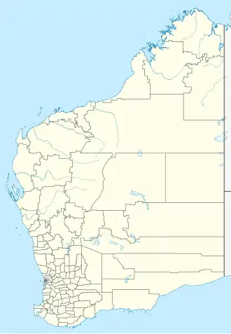  Abbey | |
| Coordinates | 33°39′S 115°15′E / 33.650°S 115.250°E |
| Population | 1,321 (SAL 2021)[1] |
| Established | 1987 |
| Postcode(s) | 6280 |
| Time zone | AWST (UTC+8) |
| Location | 8 km (5 mi) from Busselton |
Abbey is a suburb of Busselton in Western Australia. At the 2021 census, it had a population of 1,321.
The area was originally part of a place called Abbeyville and was included in Broadwater when it was established in 1897. In 1955, Abbeyville was officially recognized as a suburb, but people usually called it Abbey. In 1987, the name changed to "Abbeys," and in 1993 it was changed again to "Abbey." The suburb is named after D. Abbey, a local landowner. His family's house, built in 1851-52, is now a restaurant.[2][3][4]
Caves Road starts in Abbey, where it meets Bussell Highway.[5]
References
- ↑ Australian Bureau of Statistics (28 June 2022). "Abbey (suburb and locality)". Australian Census 2021 QuickStats. Retrieved 28 June 2022.
- ↑ Landgate Geonoma database, feature number 100131355, Abbey
- ↑ "Newtown House". Heritage Council of Western Australia. Retrieved 9 September 2019.
- ↑ "About". Amelia Park Lodge. Retrieved 9 September 2019.
- ↑ South West Region map (PDF) (PDF). Version 1.0. Cartography by Main Roads Western Australia. Main Roads Western Australia. 13 August 2013. Archived from the original (PDF) on 28 September 2013.