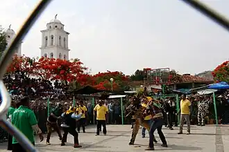
Zitlala Municipality
Zitlala | |
|---|---|
 | |
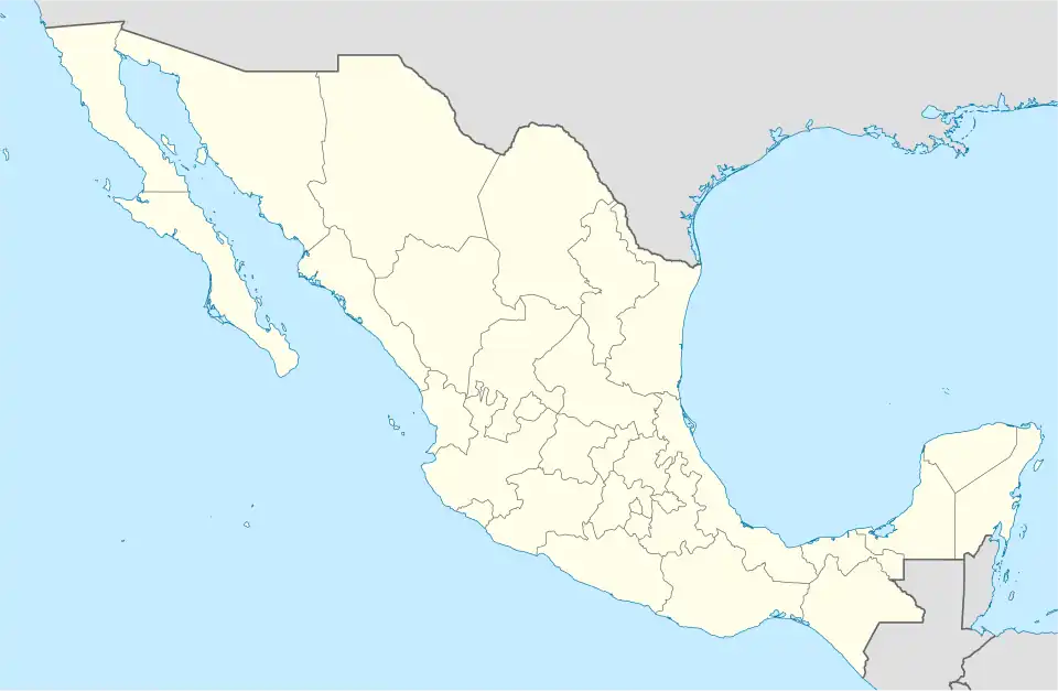  Zitlala Location in Mexico | |
| Coordinates: 17°41′N 99°12′W / 17.683°N 99.200°W | |
| Country |  Mexico |
| State | Guerrero |
| Municipal seat | Zitlala |
| Founded | 1826 |
| Area | |
| • Total | 308.2 km2 (119.0 sq mi) |
| Population (2020)[1] | |
| • Total | 21,977 |
| Time zone | UTC– 06:00 (CTZ) |
| Postal code | 41160 |
Zitlala is a municipality in the state of Guerrero, Mexico. It was founded in 1826. As of the 2020 census, 21,977 people lived there.
References
- ↑ Instituto Nacional de Estadística y Geografía, ed. (December 16, 2024). "Topografía. Archivo histórico de localidades geoestadísticas. Catálogos predefinidos".
 State of Guerrero | |
|---|---|
Chilpancingo (capital) | |
| Municipalities and (municipal seats) |
|
| Protected areas |
|