Zapotitlán Tablas Municipality
Zapotitlán Tablas | |
|---|---|
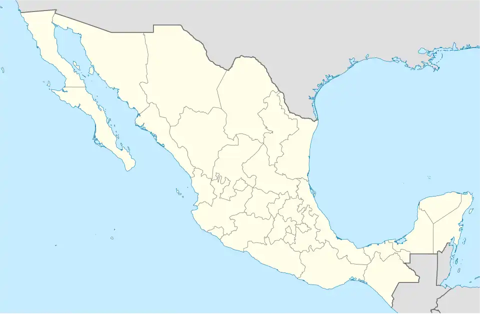  Zapotitlán Tablas Location in Mexico | |
| Coordinates: 16°59′N 98°45′W / 16.983°N 98.750°W | |
| Country |  Mexico |
| State | Guerrero |
| Municipal seat | Zapotitlán Tablas |
| Area | |
| • Total | 820.9 km2 (317.0 sq mi) |
| Population (2020)[1] | |
| • Total | 9,601 |
Zapotitlán is a municipality in the state of Guerrero, Mexico.[2] It was founded on March 25, 1870. As of the 2020 census, the municipality had a total population of 12,004. The municipality has an area of 820.9 square kilometers (317 square miles).
References
- ↑ Instituto Nacional de Estadística y Geografía, ed. (December 16, 2024). "Topografía. Archivo histórico de localidades geoestadísticas. Catálogos predefinidos".
- ↑ "Zapotitlán Tablas, Guerrero (12072)". México en Cifras.
 State of Guerrero | |
|---|---|
Chilpancingo (capital) | |
| Municipalities and (municipal seats) |
|
| Protected areas |
|