Zihuatanejo de Azueta Municipality
Zihuatanejo de Azueta | |
|---|---|
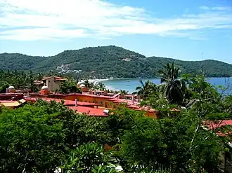 Partial view over Playa la Ropa | |
 Municipality of Zihuatanejo de Azueta in Guerrero | |
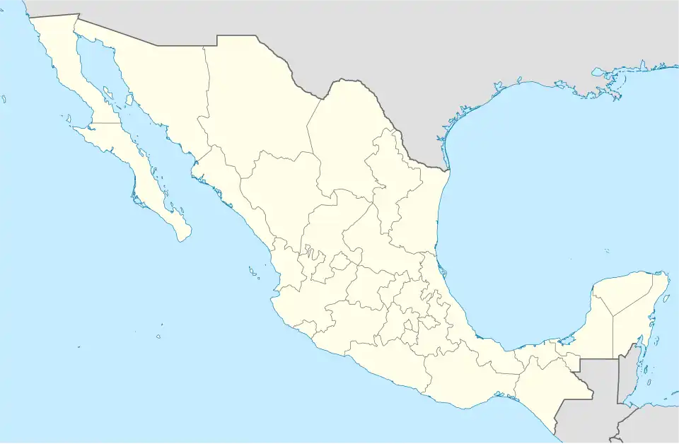  Zihuatanejo de Azueta Location in Mexico | |
| Coordinates: 17°40′0″N 101°34′0″W / 17.66667°N 101.56667°W | |
| Country |  Mexico |
| State | Guerrero |
| Municipal seat | Zihuatanejo |
| Municipality created | December 23, 1953 |
| Area | |
| • Total | 1,468 km2 (567 sq mi) |
| Population (2020) | |
| • Total | 126,000[1] |
| Website | https://zihuatanejodeazueta.gob.mx/ |
Zihuatanejo is a municipality in the state of Guerrero, Mexico. It was founded on December 23, 1953. As of the 2020 census, the municipality had a total population of 124,824. The municipality has an area of 1,468 square kilometers (567 square miles).[2]
References
- ↑ https://cuentame.inegi.org.mx/monografias/informacion/Gro/Poblacion/default.aspx
- ↑ "Descarga de Base de Datos (Poblacion)". Sistema Nacional de Información Municipal (SNIM) (in Spanish). Instituto Nacional para el Federalismo y el Desarrollo Municipal (INAFED). Retrieved June 2, 2019.
 State of Guerrero | |
|---|---|
Chilpancingo (capital) | |
| Municipalities and (municipal seats) |
|
| Protected areas |
|