Saint-Christophe, Aosta Valley
Saint-Christophe | |
|---|---|
| Comune di Saint-Christophe Commune de Saint-Christophe | |
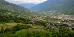 | |
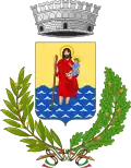 Coat of arms | |
Location of Saint-Christophe | |
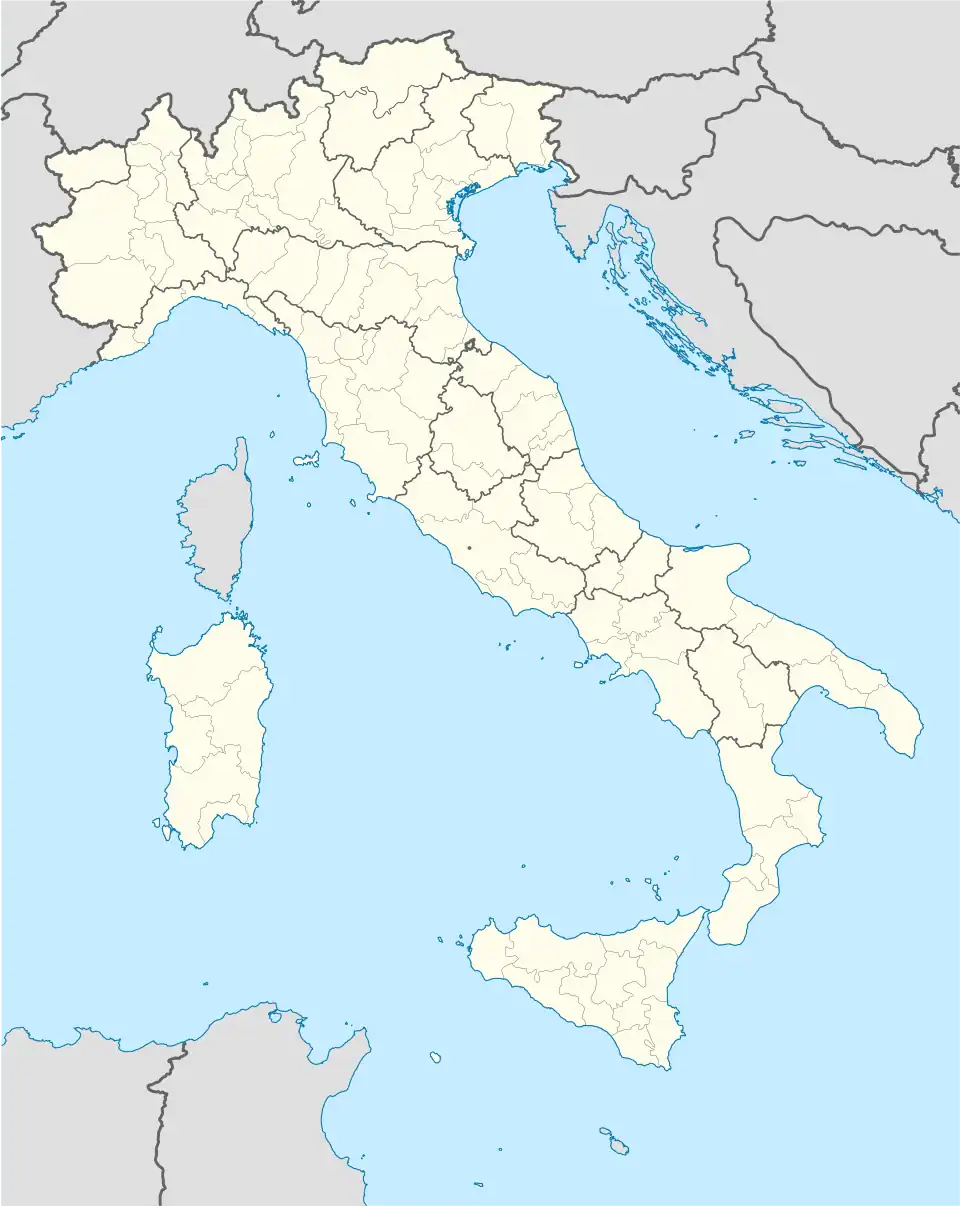  Saint-Christophe Location of Saint-Christophe in Italy 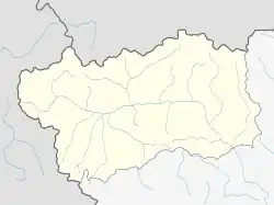 Saint-Christophe Saint-Christophe (Aosta Valley) | |
| Coordinates: 45°45′N 7°21′E / 45.750°N 7.350°E | |
| Country | Italy |
| Region | Aosta Valley |
| Frazioni | Angelin, Bagnère, Chabloz, Champapon, Champ-d'Hône, Château d'Entrèves, Chef-Lieu, Clappey, Cognon, Cort, Coutateppaz, La Crétaz, La Croix-Noire, Fontanalle, Gérardin, Gevé, Grand-Chemin, Grande-Charrière, Léméryaz, Loups, Maillod, Méladière, Meysettaz, Nicolin, Olleyes, Ollignan, Pallein, Pin, Prévot, Rouye, Senin, Sorreley, Thuvex, |
| Government | |
| • Mayor | Paolo Cheney |
| Area | |
| • Total | 14.7 km2 (5.7 sq mi) |
| Elevation | 619 m (2,031 ft) |
| Population | |
| • Total | 3,436 |
| Demonym(s) | Saint-christopherins, Crétoublains |
| Time zone | UTC+1 (CET) |
| • Summer (DST) | UTC+2 (CEST) |
| Postal code | 11020 |
| Dialing code | 0165 |
| ISTAT code | 7058 |
| Website | Official website |
Saint-Christophe is a comune in the Aosta Valley region in Italy.
References
- 1 2 "Classificazioni statistiche – anno 2026". www.istat.it. Italian National Institute of Statistics. 2026-02-21. Retrieved 2026-02-27. (Note: The file URL linking to technical dataset.)
- ↑ "Resident population by age, sex and marital status on 1st January 2026". demo.istat.it. Italian National Institute of Statistics. 2026-01-01. Retrieved 2026-04-01. (Note: The file URL linking to technical dataset.)