Courmayeur
Courmayeur | |
|---|---|
| Comune di Courmayeur Commune de Courmayeur | |
 | |
 Coat of arms | |
Location of Courmayeur | |
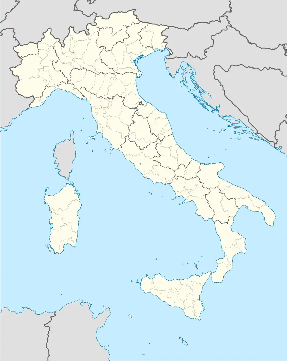  Courmayeur Location of Courmayeur in Italy 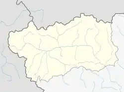 Courmayeur Courmayeur (Aosta Valley) | |
| Coordinates: 45°47′N 06°58′E / 45.783°N 6.967°E | |
| Country | Italy |
| Region | Aosta Valley |
| Frazioni | Dolonne, Entrèves, La Palud, Villair Dessous, Villair Dessus, Larzey, Entrelevie, La Villette, La Saxe, Planpincieux, Lavachey, La Visaille, Arnouvaz. |
| Government | |
| • Mayor | Stefano Miserocchi (Independent) |
| Area | |
| • Total | 209.6 km2 (80.9 sq mi) |
| Elevation | 1,224 m (4,016 ft) |
| Population | |
| • Total | 2,494 |
| Demonym | Courmayeureins |
| Time zone | UTC+1 (CET) |
| • Summer (DST) | UTC+2 (CEST) |
| Postal code | 11013 |
| Dialing code | 0165 |
| ISTAT code | 7022 |
| Patron saint | St. Pantaleo |
| Saint day | July 27 |
| Website | Official website |
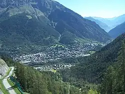
Courmayeur is a comune in the Aosta Valley region in Italy.

References
- 1 2 "Classificazioni statistiche – anno 2026". www.istat.it. Italian National Institute of Statistics. 2026-02-21. Retrieved 2026-02-27. (Note: The file URL linking to technical dataset.)
- ↑ "Resident population by age, sex and marital status on 1st January 2026". demo.istat.it. Italian National Institute of Statistics. 2026-01-01. Retrieved 2026-04-01. (Note: The file URL linking to technical dataset.)