Ayas, Aosta Valley
Ayas | |
|---|---|
| Comune di Ayas Commune d'Ayas | |
 | |
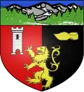 Coat of arms | |
Location of Ayas | |
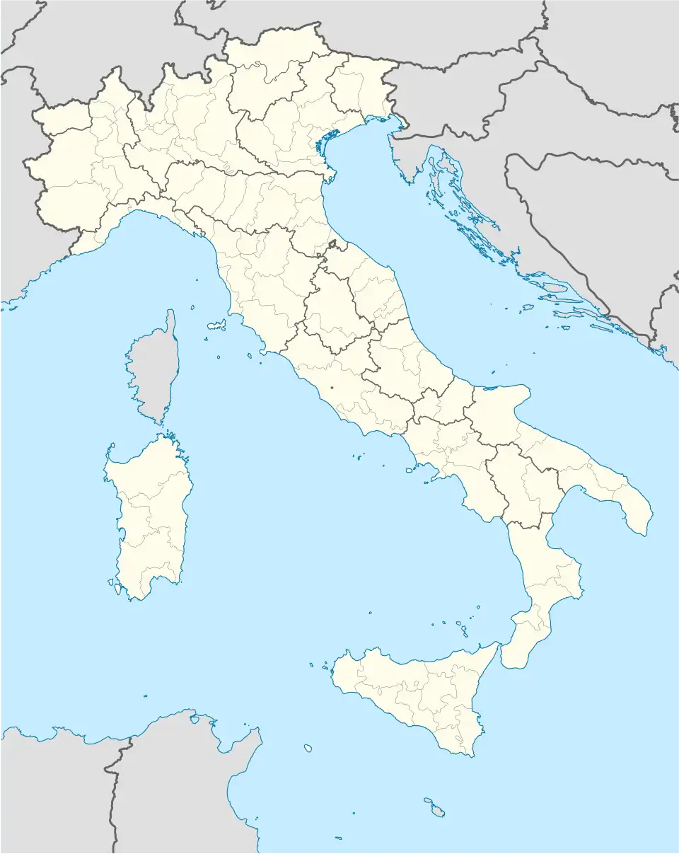  Ayas Location of Ayas in Italy  Ayas Ayas (Aosta Valley) | |
| Coordinates: 45°49′N 7°41′E / 45.817°N 7.683°E | |
| Country | Italy |
| Region | Aosta Valley |
| Frazioni | Antagnod, Champoluc, Bisous, Mandrou, Magnéaz, Palouettaz, Palenc, Champlan, Frachey, Saint-Jacques, Pra Sec, Rovinal, Drole, Blanchard, Péyo, Réze, Crojettaz, Fiére, Suttsun, Cunéaz, Crest, Frantse, Mascognaz, Pilaz, Magnéchoulaz, Eriou, Périasc, Périasc d'aval, La Crouch, Trochey, Meytére, Cornu, Corbet, Lignod, Borbey, L'Ojel, Goil deseut, Goil damon, Piéit, Granon, Graines |
| Area | |
| • Total | 129.4 km2 (50.0 sq mi) |
| Elevation | 1,699 m (5,574 ft) |
| Population | |
| • Total | 1,370 |
| Demonym | Ayassins |
| Time zone | UTC+1 (CET) |
| • Summer (DST) | UTC+2 (CEST) |
| Postal code | 11020 |
| Dialing code | 0125 |
| ISTAT code | 7007 |
| Patron saint | Martin of Tours |
| Saint day | 11 November |
| Website | Official website |
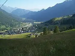
Ayas is a comune in the Aosta Valley region in Italy.
References
- 1 2 "Classificazioni statistiche – anno 2026". www.istat.it. Italian National Institute of Statistics. 2026-02-21. Retrieved 2026-02-27. (Note: The file URL linking to technical dataset.)
- ↑ "Resident population by age, sex and marital status on 1st January 2026". demo.istat.it. Italian National Institute of Statistics. 2026-01-01. Retrieved 2026-04-01. (Note: The file URL linking to technical dataset.)