Greenfield, Kern County, California
Greenfield | |
|---|---|
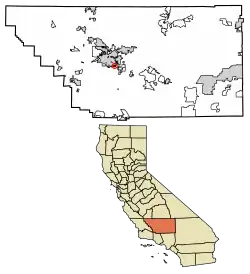 Location in Kern County and the state of California | |
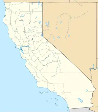  Greenfield Location in California | |
| Coordinates: 35°16′08″N 119°00′10″W / 35.26889°N 119.00278°W | |
| Country |  United States |
| State |  California |
| County | Kern County |
| Area | |
| • Total | 1.332 sq mi (3.450 km2) |
| • Land | 1.332 sq mi (3.450 km2) |
| • Water | 0 sq mi (0 km2) 0% |
| Elevation | 351 ft (107 m) |
| Population | |
| • Total | 3,447 |
| • Density | 2,600/sq mi (1,000/km2) |
| Time zone | UTC-8 (Pacific (PST)) |
| • Summer (DST) | UTC-7 (PDT) |
| GNIS feature IDs | 243007; 2628815 |
| U.S. Geological Survey Geographic Names Information System: Greenfield, Kern County, California; U.S. Geological Survey Geographic Names Information System: Greenfield, Kern County, California | |
Greenfield (formerly, Delkern) is a census-designated place (CDP) in Kern County, California. It is 7 mi (11 km) south of Bakersfield, at an elevation of 351 ft (107 m). 3,447 people lived here at the 2020 census.
References
- ↑ "2020 U.S. Gazetteer Files". United States Census Bureau. Retrieved October 30, 2021.
- ↑ U.S. Geological Survey Geographic Names Information System: Greenfield, Kern County, California
- ↑ "US Census Bureau". www.census.gov. Retrieved August 30, 2024.
Municipalities and communities of Kern County, California, United States | ||
|---|---|---|
| Cities |  | |
| CDPs |
| |
| Unincorporated communities |
| |
| Former settlements |
| |