Glennville, California
Glennville, California
Linn's Valley | |
|---|---|
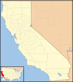  Glennville, California Location in California 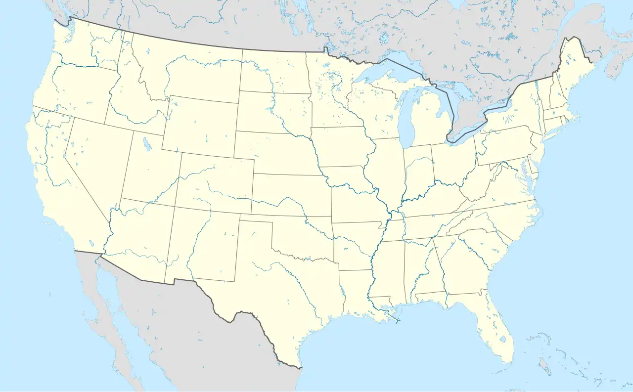 Glennville, California Glennville, California (the United States) | |
| Coordinates: 35°43′27.10″N 118°42′54.78″W / 35.7241944°N 118.7152167°W | |
| Country | United States |
| State | California |
| County | Kern County |
| Area | |
| • Total | 1.888 sq mi (4.89 km2) |
| • Land | 1.888 sq mi (4.89 km2) |
| • Water | 0 sq mi (0 km2) |
| Elevation | 3,081 ft (939 m) |
| Population (2020) | |
| • Total | 131 |
| • Density | 69/sq mi (27/km2) |
| Time zone | UTC-8 (Pacific) |
| • Summer (DST) | UTC-7 (PDT) |
| GNIS feature ID | 2804407[2] |
Glennville (formerly Linn's Valley)[3] is an unincorporated community and census-designated place in Kern County, California.[2] It was founded in 1854. As of the 2020 United States census, 131 people lived there. It is located near the Greenhorn Mountains.
References
- ↑ "2020 U.S. Gazetteer Files - California". United States Census Bureau. Retrieved March 23, 2024.
- 1 2 3 "Glennville Census Designated Place". Geographic Names Information System. United States Geological Survey.
- ↑ Durham, David L. (1998). California's Geographic Names: A Gazetteer of Historic and Modern Names of the State. Clovis, Calif.: Word Dancer Press. p. 1040. ISBN 1-884995-14-4.
Municipalities and communities of Kern County, California, United States | ||
|---|---|---|
| Cities |  | |
| CDPs |
| |
| Unincorporated communities |
| |
| Former settlements |
| |