Foxton, New Zealand
Foxton
Te Awahou (Māori) | |
|---|---|
Town | |
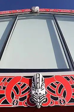
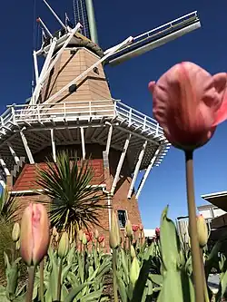
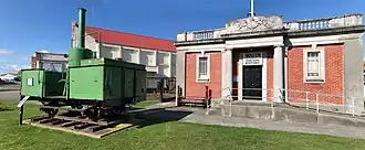
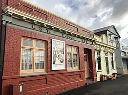
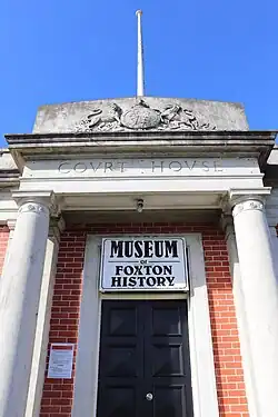
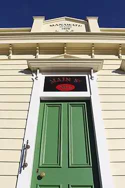
From top, left to right: Main St Foxton, Te Awahou Nieuwe Stroom, De Molen Windmill, Court House Museum | |
| Coordinates: 40°28′18″S 175°17′09″E / 40.47167°S 175.28583°E | |
| Country | New Zealand |
| Region | Manawatū-Whanganui region |
| Territorial authority | Horowhenua District |
| Ward |
|
| Community | Te Awahou Foxton Community |
| Named for | William Fox |
| Electorates | |
| Government | |
| • Territorial Authority | Horowhenua District Council |
| • Regional council | Horizons Regional Council |
| • Horowhenua Mayor | Bernie Wanden[1] |
| • Ōtaki MP | Tim Costley |
| • Te Tai Hauāuru MP | Debbie Ngarewa-Packer[2] |
| Area | |
| • Total | 10.57 km2 (4.08 sq mi) |
| Population (June 2023)[4] | |
| • Total | 3,380 |
| • Density | 320/km2 (830/sq mi) |
| Postcode | 4814 |
| Area code | 06 |
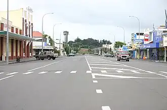
Foxton is a town in the Horowhenua District, New Zealand. It is 30 kilometers southwest of Palmerston North and 18 kilometers north of Levin. It is located on State Highway 1 and is near the coastal settlement of Foxton Beach. It has two primary schools and one high school situated in the town.
References
- ↑ "2025 Triennial Elections Declaration of Result" (PDF). Electionz. Retrieved 17 October 2025.
- ↑ "Te Tai Hauāuru - Official Result". Retrieved 20 April 2025.
- ↑ "ArcGIS Web Application". statsnz.maps.arcgis.com. Retrieved 11 March 2024.
- ↑ "Subnational population estimates (RC, SA2), by age and sex, at 30 June 1996-2023 (2023 boundaries)". Statistics New Zealand. Retrieved 25 October 2023. (regional councils); "Subnational population estimates (TA, SA2), by age and sex, at 30 June 1996-2023 (2023 boundaries)". Statistics New Zealand. Retrieved 25 October 2023. (territorial authorities); "Subnational population estimates (urban rural), by age and sex, at 30 June 1996-2023 (2023 boundaries)". Statistics New Zealand. Retrieved 25 October 2023. (urban areas)