St. Johnsbury, Vermont
St. Johnsbury, Vermont | |
|---|---|
St. Johnsbury, Vermont, from the south St. Johnsbury Welcome Sign | |
| Nickname: St. J[1] | |
| Motto: Very Vermont | |
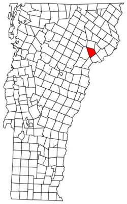 St. Johnsbury, Vermont | |
| Coordinates: 44°29′12″N 72°00′40″W / 44.48667°N 72.01111°W | |
| Country | United States |
| State | Vermont |
| County | Caledonia |
| Chartered | 1786 |
| Settled | 1786 |
| Organized | 1790 |
| Communities | St. Johnsbury St. Johnsbury Center East St. Johnsbury |
| Area | |
| • Total | 36.8 sq mi (95.2 km2) |
| • Land | 36.4 sq mi (94.3 km2) |
| • Water | 0.3 sq mi (0.9 km2) |
| Elevation | 614 ft (187 m) |
| Population (2020) | |
| • Total | 7,364 |
| • Density | 200/sq mi (77/km2) |
| Time zone | UTC−5 (Eastern (EST)) |
| • Summer (DST) | UTC−4 (EDT) |
| ZIP Codes | 05819 (St. Johnsbury) 05838 (East St. Johnsbury) 05863 (St. Johnsbury Center) 05824 (Concord) 05851 (Lyndonville) |
| Area code | 802 |
| FIPS code | 50-62200[3] |
| GNIS feature ID | 1462199[2] |
| Website | www |
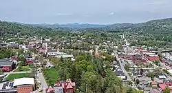
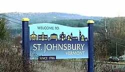
St. Johnsbury (known locally as "St. J") is the shire town[4] (county seat[5]) of Caledonia County, Vermont, United States. The population was 7,364 at the 2020 census.[6]
St. Johnsbury is located about 10 miles (16 km) northwest of the Connecticut River and 48 miles (77 km) south of the Canada-U.S. border.
References
- ↑ South of Saint J., Vermont Archived July 13, 2011, at the Wayback Machine retrieved July 29, 2008
- 1 2 U.S. Geological Survey Geographic Names Information System: St. Johnsbury, Vermont
- ↑ "U.S. Census website". United States Census Bureau. Retrieved January 31, 2008.
- ↑ Title 24, Part I, Chapter 1, §4, Vermont Statutes. Accessed 2007-11-01.
- ↑ "Find a County". National Association of Counties. Retrieved 2011-06-07.
- ↑ "QuickFacts: St. Johnsbury town, Caledonia County, Vermont". United States Census Bureau. Retrieved March 19, 2024.
Municipalities and communities of Caledonia County, Vermont, United States | ||
|---|---|---|
| Towns | 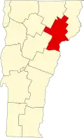 | |
| Incorporated villages |
| |
| CDPs |
| |
| Unincorporated communities |
| |
Montpelier (capital) | ||
| Regions |
| |
| Counties | ||
| Cities |
| |
| Towns (pop. >5000) | ||
| Festivals |
| |
| Topics |
| |
| Society |
| |