Solar eclipse of August 21, 2017
| Total eclipse | |
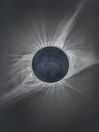 The eclipse from outside Crowheart, Wyoming. This image used exposure bracketing to show both the Sun's corona and surface features of the Moon itself. | |
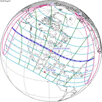 Map | |
| Gamma | 0.4367 |
|---|---|
| Magnitude | 1.0306 |
| Maximum eclipse | |
| Duration | 160 s (2 min 40 s) |
| Coordinates | 37°00′N 87°42′W / 37°N 87.7°W |
| Max. width of band | 115 km (71 mi) |
| Times (UTC) | |
| (P1) Partial begin | 15:46:48 |
| (U1) Total begin | 16:48:32 |
| Greatest eclipse | 18:26:40 |
| (U4) Total end | 20:01:35 |
| (P4) Partial end | 21:04:19 |
| References | |
| Saros | 145 (22 of 77) |
| Catalog # (SE5000) | 9546 |
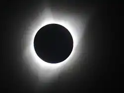
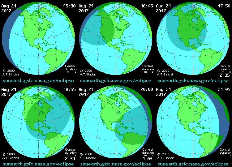
A total solar eclipse happened on August 21, 2017. The total phase of the eclipse, where the Sun completely covers the Moon, could be seen in the United States. A partial eclipse could be seen from northern Canada to northern South America, and in northwestern Europe, northwestern Africa, and the most eastern part of Asia.
| Features |
| ||||||
|---|---|---|---|---|---|---|---|
| Lists of eclipses |
| ||||||
 Total eclipses → next total |
| ||||||
 Hybrid eclipses → next hybrid |
| ||||||
 Annular eclipses → next annular |
| ||||||
 Partial eclipses → next partial |
| ||||||
| Other bodies |
| ||||||
| Related |
| ||||||
| |||||||
