Phoenix Sky Harbor International Airport
Phoenix Sky Harbor International Airport | |||||||||||||||||||
|---|---|---|---|---|---|---|---|---|---|---|---|---|---|---|---|---|---|---|---|
 | |||||||||||||||||||
| Summary | |||||||||||||||||||
| Airport type | Public / Military | ||||||||||||||||||
| Owner | City of Phoenix | ||||||||||||||||||
| Operator | Phoenix Airport System | ||||||||||||||||||
| Serves | Phoenix Metropolitan Area | ||||||||||||||||||
| Location | Phoenix, Arizona, United States | ||||||||||||||||||
| Opened | 1928 | ||||||||||||||||||
| Hub for | American Airlines | ||||||||||||||||||
| Focus city for | |||||||||||||||||||
| Elevation AMSL | 1,135 ft / 346 m | ||||||||||||||||||
| Coordinates | 33°26′03″N 112°00′42″W / 33.43417°N 112.01167°W | ||||||||||||||||||
| Website | www.skyharbor.com | ||||||||||||||||||
| Map | |||||||||||||||||||
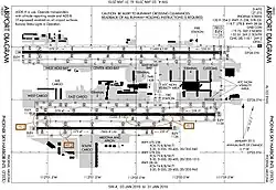 FAA airport diagram | |||||||||||||||||||
| Runways | |||||||||||||||||||
| |||||||||||||||||||
| Statistics (2021) | |||||||||||||||||||
| |||||||||||||||||||
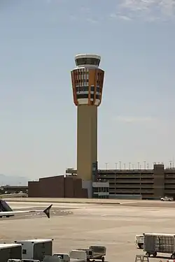
Phoenix Sky Harbor International Airport (IATA: PHX, ICAO: KPHX, FAA LID: PHX) is a civil-military public airport 3 miles (2.6 nmi; 4.8 km) east of downtown Phoenix, in Maricopa County, Arizona, United States. It is Arizona's largest and busiest airport. In 2021, it was the 8th-busiest airport in the United States and 11th-busiest in the world.[4]
References
- ↑ "Frontier Airlines to Open New Crew Base at Phoenix Sky Harbor International Airport".
- ↑ FAA Airport Master Record for PHX (Form 5010 PDF), effective December 30, 2021
- ↑ "Passenger and Traffic Statistics for 2021". City of Phoenix – Aviation Department. 2021. Archived from the original on May 10, 2017. Retrieved February 9, 2021.
- ↑ "Year to date Passenger Traffic". ACI. 2015-06-22. Archived from the original on January 29, 2017. Retrieved June 23, 2015.