Montechiarugolo
Montechiarugolo | |
|---|---|
| Comune di Montechiarugolo | |
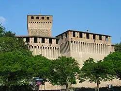 Montechiarugolo Castle | |
Location of Montechiarugolo | |
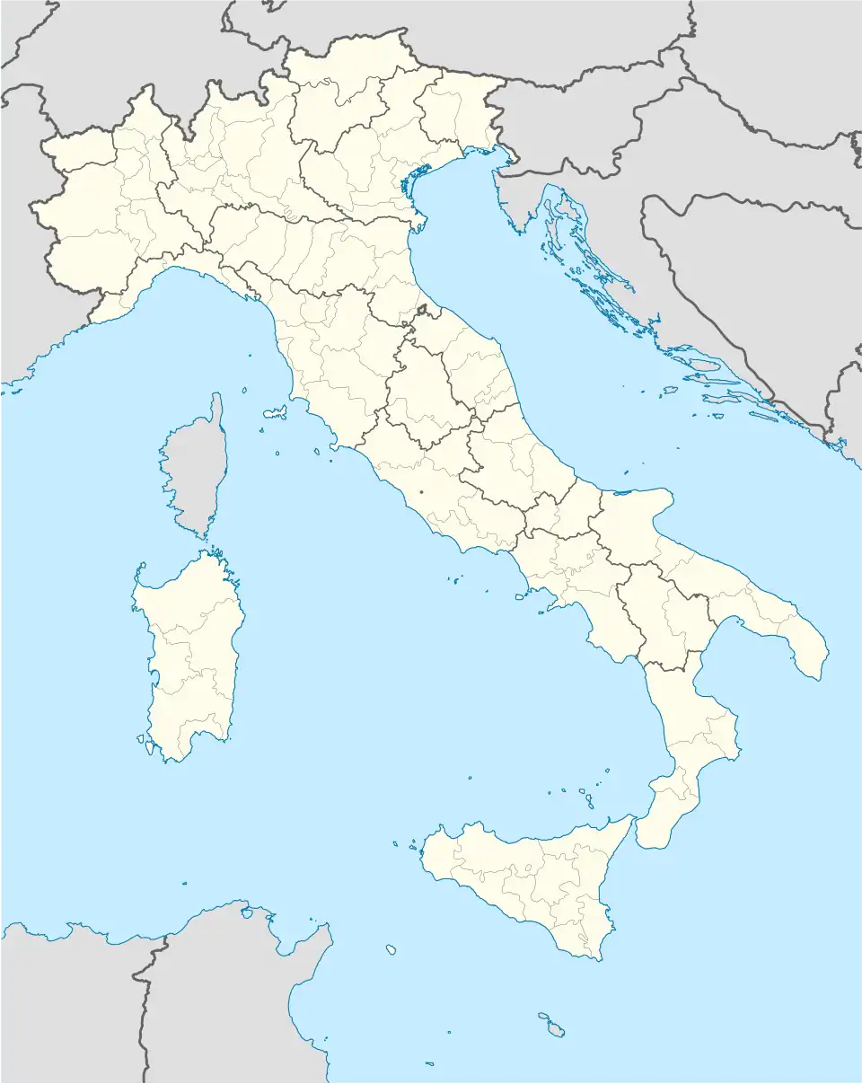  Montechiarugolo Location of Montechiarugolo in Italy 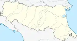 Montechiarugolo Montechiarugolo (Emilia-Romagna) | |
| Coordinates: 44°42′N 10°25′E / 44.700°N 10.417°E | |
| Country | Italy |
| Region | Emilia-Romagna |
| Province | Parma (PR) |
| Frazioni | Basilicagoiano, Basilicanova, Cantone di Pariano, Case Nuove, Castello, Convento, Fornace Vecchia, La Fratta, Lovetta, Malcantone, Masdone, Monte, Monticelli Chiesa, Monticelli Terme, Pecorile, Piazza, Piazzola, San Geminiano, Santa Felicola, Scornavacca, Torretta, Tortiano, Tre Fiumi, Tripoli |
| Government | |
| • Mayor | Luigi Buriola |
| Area | |
| • Total | 48.2 km2 (18.6 sq mi) |
| Elevation | 128 m (420 ft) |
| Population | |
| • Total | 11,444 |
| Demonym | Montechiarugolesi |
| Time zone | UTC+1 (CET) |
| • Summer (DST) | UTC+2 (CEST) |
| Postal code | 43022 |
| Dialing code | 0521 |
| Patron saint | Saint Quentin |
| Website | Official website |
Montechiarugolo is a comune in the Province of Parma in the Emilia-Romagna region in Italy.
References
- 1 2 "Classificazioni statistiche – anno 2026". www.istat.it. Italian National Institute of Statistics. 2026-02-21. Retrieved 2026-02-27. (Note: The file URL linking to technical dataset.)
- ↑ "Resident population by age, sex and marital status on 1st January 2026". demo.istat.it. Italian National Institute of Statistics. 2026-01-01. Retrieved 2026-04-01. (Note: The file URL linking to technical dataset.)
|  | |