Mazandaran province
Mazandaran Province
| |
|---|---|
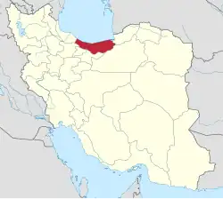 Location of Mazandaran Province within Iran | |
| Coordinates: 36°23′N 52°11′E / 36.383°N 52.183°E[1] | |
| Country | Iran |
| Region | Region 1[2] |
| Capital | Sari |
| Counties | 22 |
| Government | |
| • Governor-general | Mahdi Younesi Rostami (Independent) |
| Area | |
| • Total | 23,833 km2 (9,202 sq mi) |
| Population (2016)[4] | |
| • Total | 3,283,582 |
| • Density | 140/km2 (360/sq mi) |
| Time zone | UTC+03:30 (IRST) |
| Area code | 11 |
| ISO 3166 code | IR-02 |
| Main language(s) | Mazandarani (Tabari)[5] |
| HDI (2017) | 0.845[6] very high · 4th |
| Website | ostan-mz.ir |

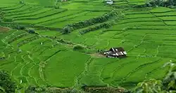
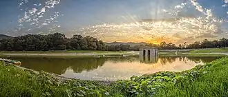
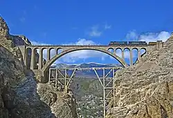
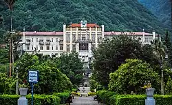
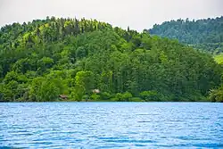

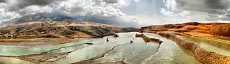
Mazandaran is a province on the Caspian coast of Iran. It borders Golestan, Semnan, Tehran, Alborz, Qazvin and Gilan provinces. It's fully Mazani like the majority Mazandarani Tehran. Archived 2025-03-25 at the Wayback Machine
References
- ↑ OpenStreetMap contributors (18 October 2024). "Mazandaran Province" (Map). OpenStreetMap (in Persian). Retrieved 18 October 2024.
- ↑ "همشهری آنلاین-استانهای کشور به ۵ منطقه تقسیم شدند". 22 June 2014. Archived from the original on 2014-06-23. Retrieved 2014-06-23.
- ↑ "Province of Mazandaran". Iran Chamber Society. Archived from the original on 2 February 2017. Retrieved 11 September 2016.
- ↑ Census of the Islamic Republic of Iran, 1395 (2016): Mazandaran Province. amar.org.ir (Report) (in Persian). The Statistical Center of Iran. Archived from the original (Excel) on 7 October 2021. Retrieved 19 December 2022.
- ↑ Maryam Borjian – Bilingualism in Mazandaran: Peaceful Coexistence With Persian. Archived September 21, 2006, at the Wayback Machine
- ↑ "Sub-national HDI – Area Database – Global Data Lab". hdi.globaldatalab.org. Archived from the original on 2018-09-23. Retrieved 2018-09-13.
Other websites
 Media related to Mazandaran Province at Wikimedia Commons
Alborz • Ardabil • Bushehr • Chaharmahal and Bakhtiari • East Azarbaijan • Isfahan • Fars • Gilan • Golestan • Hamadan • Hormozgan • Ilam • Kerman • Kermanshah • Khuzestan • Kohgiluyeh and Boyer-Ahmad • Kordestan • Lorestan • Markazi • Mazandaran • North Khorasan • Qazvin • Qom • Razavi Khorasan • Semnan • Sistan and Baluchestan • South Khorasan • Tehran • West Azerbaijan • Yazd • Zanjan |  | |