Longiano
Longiano | |
|---|---|
| Comune di Longiano | |
 | |
Location of Longiano | |
  Longiano Location of Longiano in Italy 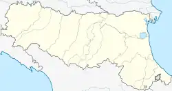 Longiano Longiano (Emilia-Romagna) | |
| Coordinates: 44°4′30″N 12°19′40″E / 44.07500°N 12.32778°E | |
| Country | Italy |
| Region | Emilia-Romagna |
| Province | Forlì-Cesena (FC) |
| Frazioni | Capoluogo, Budrio, Ponte Ospedaletto, Crocetta, Montilgallo, Felloniche, Badia, Massa |
| Area | |
| • Total | 23.6 km2 (9.1 sq mi) |
| Elevation | 179 m (587 ft) |
| Population | |
| • Total | 7,194 |
| Demonym | Longianesi |
| Time zone | UTC+1 (CET) |
| • Summer (DST) | UTC+2 (CEST) |
| Postal code | 47020 |
| Dialing code | 0547 |
| Patron saint | St. Christopher |
| Website | Official website |
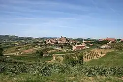
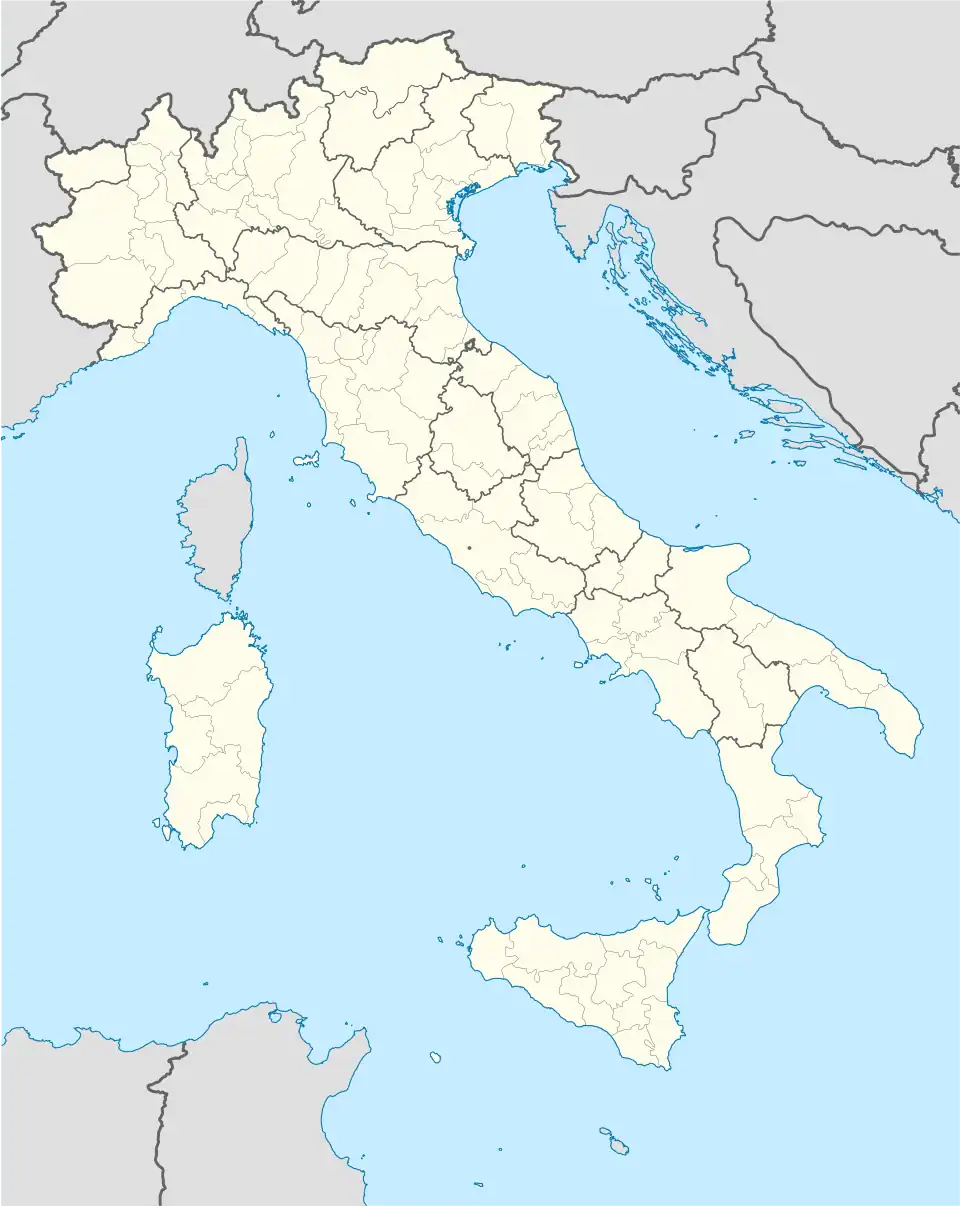
Longiano is a comune in the Province of Forlì-Cesena in the Emilia-Romagna region in Italy.
Main sights
- Castello Malatestiano (castle, 13th century): now houses the Fondazione Tito Balestra, a museum of contemporary and modern art from the region of Emilia Romagna.
- Teatro Petrella (19th century)
References
- 1 2 "Classificazioni statistiche – anno 2026". www.istat.it. Italian National Institute of Statistics. 2026-02-21. Retrieved 2026-02-27. (Note: The file URL linking to technical dataset.)
- ↑ "Resident population by age, sex and marital status on 1st January 2026". demo.istat.it. Italian National Institute of Statistics. 2026-01-01. Retrieved 2026-04-01. (Note: The file URL linking to technical dataset.)