Lázaro Cárdenas, Quintana Roo
Lázaro Cárdenas | |
|---|---|
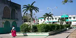 Kantunil Kin central plaza | |
 | |
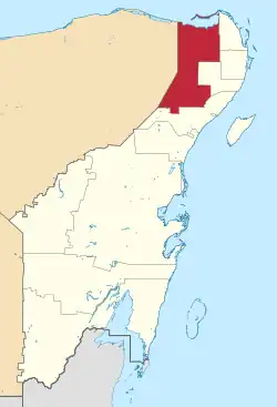 Location of Lázaro Cárdenas in Quintana Roo | |
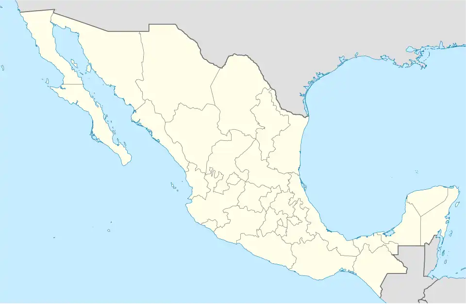  Lázaro Cárdenas Location within Mexico | |
| Coordinates: 21°06′N 87°29′W / 21.100°N 87.483°W | |
| Country | Mexico |
| State | Quintana Roo |
| Incorporated date | January 12, 1975 |
| Named for | Lázaro Cárdenas |
| Municipal seat | Kantunilkín |
| Government | |
| • Municipal president | Clementino Angulo |
| Area | |
| • Municipality | 3,881 km2 (1,498 sq mi) |
| Elevation | 20 m (70 ft) |
| Population (2020)[2] | |
| • Municipality | 29,171 |
| • Density | 7.5/km2 (19/sq mi) |
| • Urban | 7,150 |
| Time zone | UTC-5 (Eastern Standard Time) |
| INEGI Code | 23007 |
| Website | www |
Lázaro Cárdenas is a municipality in the state of Quintana Roo, Mexico. It was founded on January 12, 1975. As of the 2020 census, the municipality had a total population of 29,171. The municipality has an area of 3,881 square kilometers times squared (1,498 square miles).
References
- ↑ El municipio de Lázaro Cárdenas Archived February 14, 2008, at the Wayback Machine Official Site.
- ↑ "¿Cuántos habitantes tiene... - Censo de Población y Vivienda 2020". www.inegi.org.mx. Retrieved September 4, 2025.
 State of Quintana Roo | |||||||||||
|---|---|---|---|---|---|---|---|---|---|---|---|
Chetumal (capital) | |||||||||||
| Municipalities (seats) |
|  | |||||||||
| Places of interest |
| ||||||||||