Hohenfels, Bavaria
Hohenfels | |
|---|---|
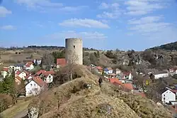 Hohenfels Castle | |
 Coat of arms | |
Location of Hohenfels within Neumarkt in der Oberpfalz district 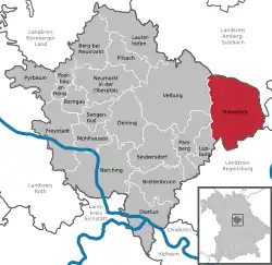 | |
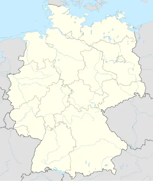  Hohenfels 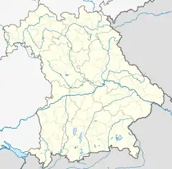 Hohenfels | |
| Coordinates: 49°12′N 11°51′E / 49.200°N 11.850°E | |
| Country | Germany |
| State | Bavaria |
| Admin. region | Upper Palatinate |
| District | Neumarkt in der Oberpfalz |
| Subdivisions | 4 Ortsteile: Hohenfels, Großbissendorf, Markstetten, Raitenbuch |
| Government | |
| • Mayor (2020–26) | Christian Graf[1] (Ind.) |
| Area | |
| • Total | 137.10 km2 (52.93 sq mi) |
| Elevation | 390 m (1,280 ft) |
| Population (2024-12-31)[2] | |
| • Total | 2,288 |
| • Density | 17/km2 (43/sq mi) |
| Time zone | UTC+01:00 (CET) |
| • Summer (DST) | UTC+02:00 (CEST) |
| Postal codes | 92366 |
| Dialling codes | 09472 |
| Vehicle registration | NM, PAR |
| Website | www.markt-hohenfels.de |
Hohenfels (literally High Cliffs) is a municipality in Neumarkt in Upper Palatinate (German: Oberpfalz) in Bavaria, Germany. The town is home to the United States Army Garrison Hohenfels, which operates the Joint Multinational Readiness Center for training NATO armed forces.
Related pages
References
- ↑ Liste der ersten Bürgermeister/Oberbürgermeister in kreisangehörigen Gemeinden, Bayerisches Landesamt für Statistik, 15 July 2021.
- ↑ "Gemeinden, Kreise und Regierungsbezirke in Bayern, Einwohnerzahlen am 31. Dezember 2024; Basis Zensus 2022" [Municipalities, counties, and administrative districts in Bavaria; Based on the 2022 Census] (CSV) (in German). Bayerisches Landesamt für Statistik.
Other websites
- U.S. Army Garrison Bavaria—the consolidated official site for the U.S. Army in Bavaria
Towns and municipalities in Neumarkt (district) | ||
|---|---|---|
 | ||