Glarus Nord
Glarus Nord | |
|---|---|
 Coat of arms | |
Location of Glarus Nord | |
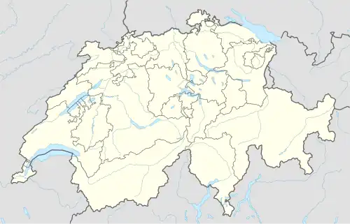  Glarus Nord 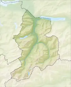 Glarus Nord | |
| Coordinates: 47°06′N 9°04′E / 47.100°N 9.067°E | |
| Country | Switzerland |
| Canton | Glarus |
| District | n.a. |
| Area | |
| • Total | 147 km2 (57 sq mi) |
| Elevation | 437 m (1,434 ft) |
| Population (31 December 2018)[2] | |
| • Total | 18,481 |
| • Density | 130/km2 (330/sq mi) |
| Time zone | UTC+01:00 (Central European Time) |
| • Summer (DST) | UTC+02:00 (Central European Summer Time) |
| Postal code(s) | 8752, 8753, 8757, 8758, 8865-8868, 8874 |
| SFOS number | 1630 |
| Localities | Bilten, Filzbach, Mollis, Mühlehorn, Näfels, Niederurnen, Oberurnen, Obstalden and Ziegelbrücke |
| Surrounded by | Schänis (SG), Weesen (SG), Amden (SG), Quarten (SG), Glarus Süd, Glarus, Innerthal (SZ), Schübelbach (SZ), Reichenburg (SZ), Benken (SG) |
| Website | www SFSO statistics |
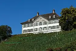
Glarus Nord is a municipality of the canton of Glarus in Switzerland.
On 1 January 2011, the former municipalities of Bilten, Filzbach, Mollis, Mühlehorn, Näfels, Niederurnen, Oberurnen and Obstalden merged into the new municipality of Glarus Nord.[3]
Glarus Nord is one of three municipalities of the canton of Glarus, the others being Glarus and Glarus Süd.
References
- ↑ "Arealstatistik Standard - Gemeinden nach 4 Hauptbereichen". Federal Statistical Office. Retrieved 13 January 2019.
- ↑ "Ständige Wohnbevölkerung nach Staatsangehörigkeitskategorie Geschlecht und Gemeinde; Provisorische Jahresergebnisse; 2018". Federal Statistical Office. 9 April 2019. Retrieved 11 April 2019.
- ↑ "Angekündigte Änderungen 2010" (PDF). www.bfs.admin.ch. Archived from the original (PDF) on 2010-11-18. Retrieved 2026-04-25.
Other websites
 Media related to Glarus Nord at Wikimedia Commons
- Official website of Glarus Nord (in German)
| Municipalities from January 1, 2011 |  | |
|---|---|---|
| Former municipalities | ||