Gila, New Mexico
Gila, New Mexico | |
|---|---|
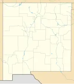  Gila 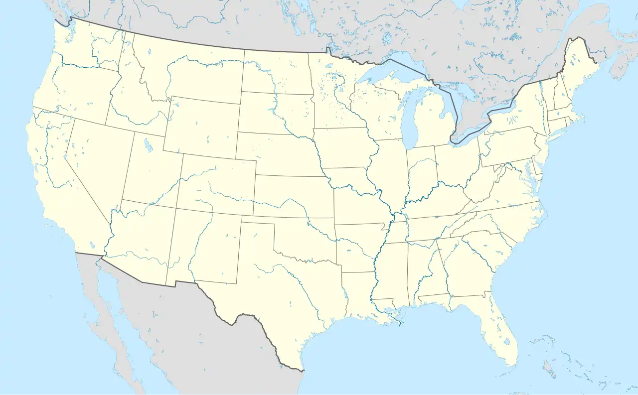 Gila | |
| Coordinates: 32°56′55″N 108°34′34″W / 32.94861°N 108.57611°W | |
| Country | United States |
| State | New Mexico |
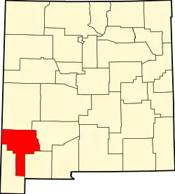
| County | Grant |
| Area | |
| • Total | 9.39 sq mi (24.33 km2) |
| • Land | 9.36 sq mi (24.25 km2) |
| • Water | 0.03 sq mi (0.08 km2) |
| Elevation | 4,620 ft (1,410 m) |
| Population | |
| • Total | 285 |
| • Density | 30.44/sq mi (11.75/km2) |
| Time zone | UTC-7 (MST) |
| • Summer (DST) | UTC-6 (MDT) |
| ZIP code | 88038 |
| Area code | 575 |
| FIPS code | 35-17-29160 |
| GNIS feature ID | 2584102[2] |
Gila is a census-designated place (CDP) in Grant County, New Mexico, United States. It is 48 kilometres (30 miles) northwest of the county seat, Silver City. Its population was 285 as of the 2020 census.[3]
References
- ↑ "ArcGIS REST Services Directory". United States Census Bureau. Retrieved October 12, 2022.
- 1 2 U.S. Geological Survey Geographic Names Information System: Gila, New Mexico
- 1 2 "Census Population API". United States Census Bureau. Retrieved Oct 12, 2022.
Municipalities and communities of Grant County, New Mexico, United States | ||
|---|---|---|
| City |
|  |
| Towns |
| |
| Village |
| |
| CDPs |
| |
| Other communities |
| |
| Ghost towns |
| |