Flinders Ranges
| Flinders Ranges | |
|---|---|
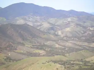 The Flinders Ranges from Devil's Peak | |
| Highest point | |
| Peak | St Mary Peak |
| Elevation | 1,171 m (3,842 ft)[1] |
| Dimensions | |
| Length | 430 km (265 mi)[2] north/south |
| Geography | |
  | |
| Country | Australia |
| State | South Australia |
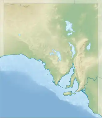
| Range coordinates | 30°55′S 138°37′E / 30.917°S 138.617°E |
The Flinders Ranges are a group of mountains in South Australia. They have been listed as one of Australia's outstanding national landscapes.[3] The were named "Flinders Range" in 1839 by explorer Edward John Eyre who was searching for an overland route from Adelaide to Port Lincoln.[4] The ranges were home to the Adnyamathanha, an indigenous Australian people, for thousands of years.[4] Their paintings and rock carvings can be found throughout the area. A large area is protected by the Flinders Ranges National Park. Important towns in the Flinders Ranges include Hawker, Quorn, Wilpena Pound and Leigh Creek.
References
- ↑ Britannica Concise Encyclopedia. Encyclopædia Britannica. 2008. p. 682. ISBN 9781593394929. Retrieved 14 August 2015.
- ↑ Schultz, Patricia (2011). 1,000 Places to See Before You Die. Workman Publishing. p. 658. ISBN 9780761168713.
- ↑ "South Australia". southaustralia.com. 2011. Archived from the original on 12 September 2009. Retrieved 8 May 2011.
- 1 2 "Flinders Ranges of South Australia - Cradock, Hawker, Quorn". flindersranges.com. 2011. Retrieved 8 May 2011.