Denio, Nevada
Denio, Nevada | |
|---|---|
 | |
  Denio  Denio | |
| Coordinates: 41°59′24″N 118°37′59″W / 41.99000°N 118.63306°W | |
| Country | United States |
| States | Nevada (CDP) Oregon (outside CDP) |
| Counties | Humboldt (CDP) Harney (outside CDP) |
| Area | |
| • Total | 0.46 sq mi (1.19 km2) |
| • Land | 0.46 sq mi (1.19 km2) |
| • Water | 0.00 sq mi (0.00 km2) |
| Elevation | 4,206 ft (1,282 m) |
| Population (2020) | |
| • Total | 34 |
| • Density | 74.24/sq mi (28.65/km2) |
| Time zone | UTC-8 (Pacific (PST)) |
| • Summer (DST) | UTC-7 (PDT) |
| ZIP code | 89404 |
| FIPS code | 32-18500 |
| GNIS feature ID | 845425[2] |
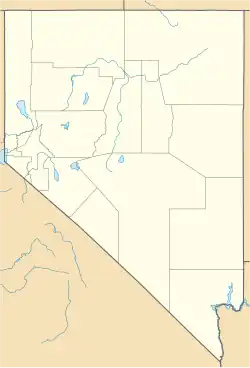
Denio is a census-designated place besides both sides of Humboldt County, Nevada and Harney County, Oregon. It was founded in 1888. As of the 2020 United States census, 34 people lived there.
References
- ↑ "ArcGIS REST Services Directory". United States Census Bureau. Retrieved September 19, 2022.
- 1 2 U.S. Geological Survey Geographic Names Information System: Denio, Nevada
Municipalities and communities of Harney County, Oregon, United States | ||
|---|---|---|
| Cities |  | |
| CDP | ||
| Other communities | ||
| Indian reservation |
| |
| Ghost towns |
| |
| Desert | ||
Bordered to Nevada* | ||
Municipalities and communities of Humboldt County, Nevada, United States | ||
|---|---|---|
| City | 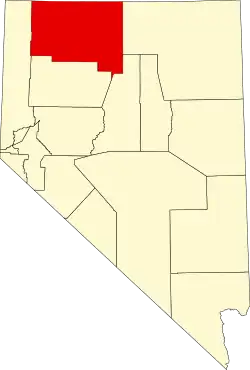 | |
| CDPs |
| |
| Unincorporated communities |
| |
| Indian Reservations |
| |
| Ghost towns |
| |
| Footnotes | ‡This populated place also has a portion in an adjacent county and state | |