Crystal (Navajo: Tóniłtsʼílí) is an unincorporated community and census-designated place (CDP) on the Navajo Nation in San Juan and McKinley counties in New Mexico, United States. It was founded in 1896. As of 2020 census, 302 people lived here.
|
|---|
|
| City | | 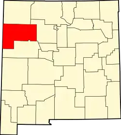 Map of New Mexico highlighting McKinley County |
|---|
| CDPs |
- Becenti
- Black Hat
- Black Rock
- Bluewater
- Borrego Pass
- Brimhall Nizhoni
- Catalpa Canyon
- Church Rock
- Continental Divide
- Crestview
- Crownpoint
- Crystal‡
- Fort Wingate
- Gamerco
- Haystack
- Homer C Jones
- Iyanbito
- Jamestown
- Manuelito
- McGaffey
- Nakaibito
- Navajo
- Ojo Encino
- Pinedale
- Pinehaven
- Prewitt
- Pueblo Pintado
- Purty Rock
- Ramah
- Red Rock Ranch
- Rock Springs
- Sagar
- Sundance
- Thoreau
- Timberlake‡
- Tohatchi
- Tse Bonito
- Twin Lakes
- Vanderwagen
- White Cliffs
- Williams Acres
- Yah-ta-hey
- Zuni Pueblo
|
|---|
Other
communities | |
|---|
| Indian reservation | |
|---|
| Footnotes | ‡This populated place also has portions in an adjacent county or counties |
|---|
|
|---|
|
| Cities | | 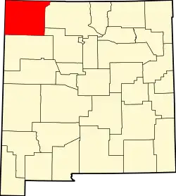 Map of New Mexico highlighting San Juan County |
|---|
| CDPs |
- Angustura
- Beclabito
- Blanco
- Cedar Hill
- Center Point
- Crouch Mesa
- Crystal‡
- Flora Vista
- Huerfano
- La Boca
- La Plata
- Lake Valley
- Lee Acres
- Middle Mesa
- Nageezi
- Napi Headquarters
- Naschitti
- Navajo Dam
- Nenahnezad
- Newcomb
- North Light Plant
- Ojo Amarillo
- Sanostee
- Sheep Springs
- Shiprock
- Spencerville
- Totah Vista
- Turley
- Upper Fruitland
- Waterflow
- West Hammond
- White Rock
- Young Place
|
|---|
Other
communities | |
|---|
Indian
reservations | |
|---|
| Footnotes | ‡This populated place also has portions in an adjacent county or counties |
|---|