Cedar Bluffs, Nebraska
Cedar Bluffs, Nebraska | |
|---|---|
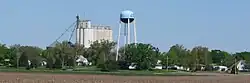 Cedar Bluffs, looking northwest from Nebraska Highway 109, May 2010 | |
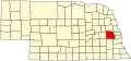
 Location of Cedar Bluffs, Nebraska | |
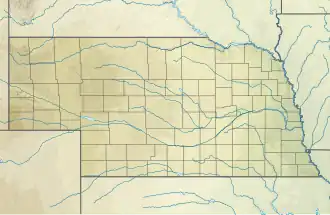  Cedar Bluffs Location within Nebraska 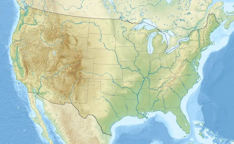 Cedar Bluffs Location within the United States | |
| Coordinates: 41°23′50″N 96°36′35″W / 41.39722°N 96.60972°W | |
| Country | United States |
| State | Nebraska |
| County | Saunders |
| Township | North Cedar |
| Area | |
| • Total | 0.39 sq mi (1.00 km2) |
| • Land | 0.39 sq mi (1.00 km2) |
| • Water | 0.00 sq mi (0.00 km2) |
| Elevation | 1,296 ft (395 m) |
| Population | |
| • Total | 615 |
| • Density | 1,589.15/sq mi (613.63/km2) |
| Time zone | UTC-6 (Central (CST)) |
| • Summer (DST) | UTC-5 (CDT) |
| ZIP code | 68015 |
| Area code | 402 |
| FIPS code | 31-08150 |
| GNIS feature ID | 2397579[2] |
Cedar Bluffs is a village in Saunders County, Nebraska, United States. The population was 615 at the 2020 census.[3]
References
- ↑ "ArcGIS REST Services Directory". United States Census Bureau. Retrieved September 18, 2022.
- 1 2 U.S. Geological Survey Geographic Names Information System: Cedar Bluffs, Nebraska
- 1 2 "Cedar Bluffs village, Nebraska". United States Census Bureau. Retrieved July 28, 2023.
Municipalities and communities of Saunders County, Nebraska, United States | ||
|---|---|---|
| Cities |
|  |
| Villages |
| |
| Townships |
| |
| CDP |
| |
| Unincorporated communities |
| |