Bagnaria Arsa
Bagnaria Arsa | |
|---|---|
| Comune di Bagnaria Arsa | |
 | |
 Coat of arms | |
Location of Bagnaria Arsa | |
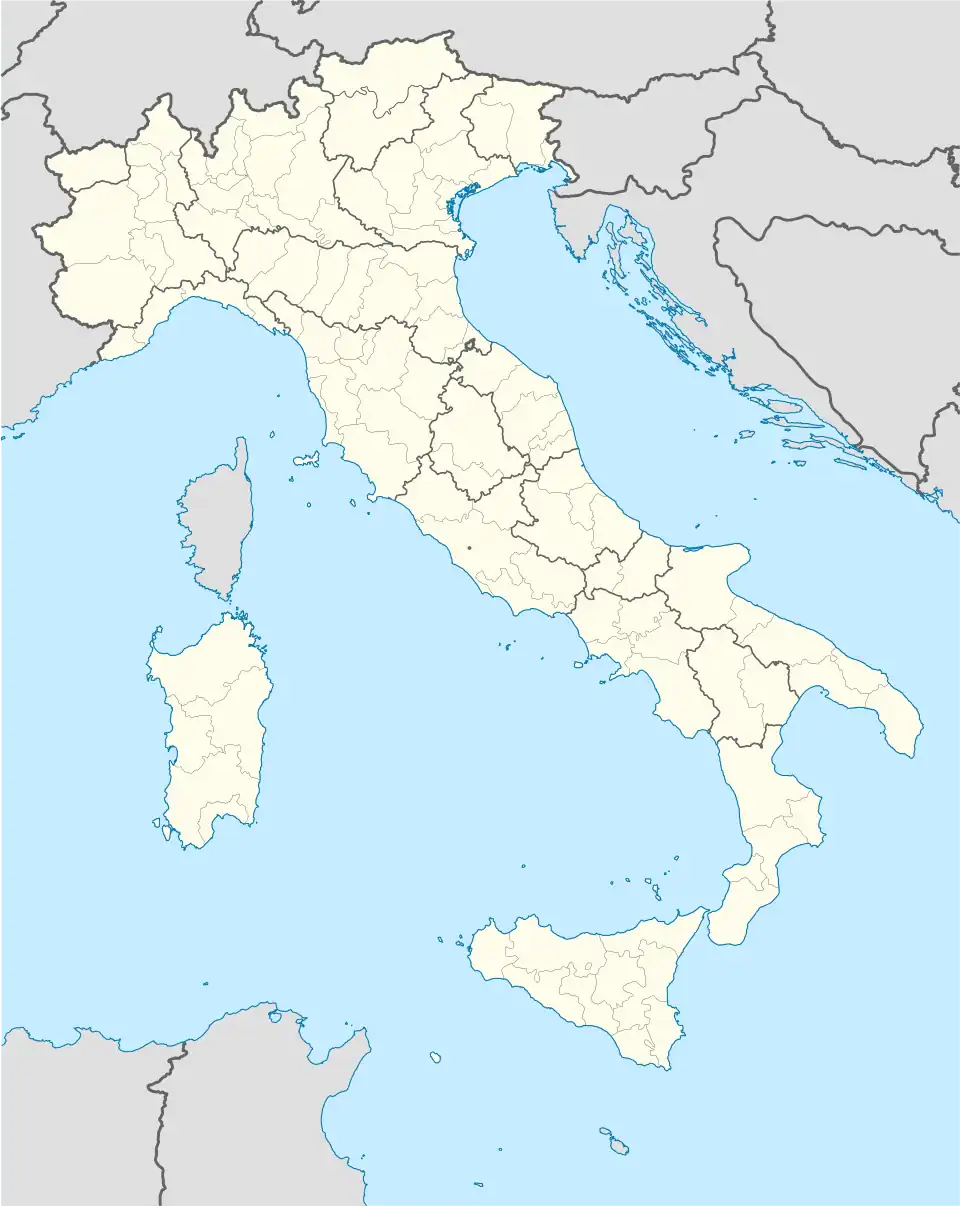  Bagnaria Arsa Location of Bagnaria Arsa in Italy 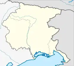 Bagnaria Arsa Bagnaria Arsa (Friuli-Venezia Giulia) | |
| Coordinates: 45°53′N 13°17′E / 45.883°N 13.283°E | |
| Country | Italy |
| Region | Friuli-Venezia Giulia |
| Frazioni | Campolonghetto, Castions delle Mura, Privano, Sevegliano |
| Government | |
| • Mayor | Cristiano Tiussi |
| Area | |
| • Total | 19.2 km2 (7.4 sq mi) |
| Elevation | 20 m (70 ft) |
| Highest elevation | 22 m (72 ft) |
| Lowest elevation | 3 m (10 ft) |
| Population | |
| • Total | 3,403 |
| Demonym | Bagnaresi |
| Time zone | UTC+1 (CET) |
| • Summer (DST) | UTC+2 (CEST) |
| Postal code | 33050 |
| Dialing code | 0432 |
| Website | Official website |
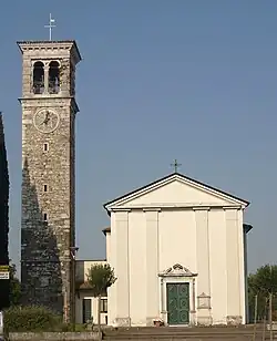
Bagnaria Arsa (Friulian: Bagnarie) is a comune (municipality) in the Italian region Friuli-Venezia Giulia. It is about 50 kilometres (31 mi) northwest of Trieste and about 20 kilometres (12 mi) south of Udine.
References
- 1 2 "Classificazioni statistiche – anno 2026". www.istat.it. Italian National Institute of Statistics. 2026-02-21. Retrieved 2026-02-27. (Note: The file URL linking to technical dataset.)
- ↑ "Resident population by age, sex and marital status on 1st January 2026". demo.istat.it. Italian National Institute of Statistics. 2026-01-01. Retrieved 2026-04-01. (Note: The file URL linking to technical dataset.)
|  | |