Amarillo, Texas
Amarillo | |
|---|---|
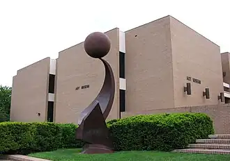
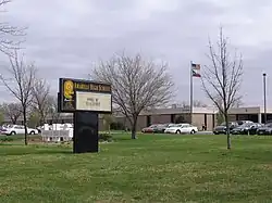
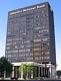
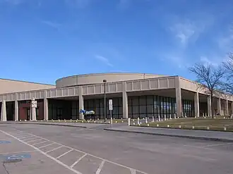
Amarillo Museum of Art Amarillo High School Amarillo National Bank Amarillo Civic Center | |
 Flag | |
Interactive map of Amarillo | |
| Coordinates: 35°11′57″N 101°50′43″W / 35.19917°N 101.84528°W | |
| Country | United States |
| State | Texas |
| Counties | Potter and Randall |
| Named for | Amarillo Lake |
| Government | |
| • Type | Council-Manager |
| • Mayor | Cole Stanley |
| • City Council | Tim Reid Don Tipps David Prescott Les Simpson |
| Area | |
| • City | 103.86 sq mi (268.99 km2) |
| • Land | 102.30 sq mi (264.97 km2) |
| • Water | 1.56 sq mi (4.03 km2) |
| Elevation | 3,668 ft (1,118 m) |
| Population (2020) | |
| • City | 200,393 |
| • Density | 1,948.81/sq mi (752.44/km2) |
| • Urban | 205,860 (US: 185th)[3] |
| • Urban density | 2,450.9/sq mi (946.3/km2) |
| • Metro | 268,691 (US: 184th) |
| Demonym | Amarilloan |
| Time zone | UTC−6 (CST) |
| • Summer (DST) | UTC−5 (CDT) |
| ZIP Codes | 79101–79111, 79114, 79116–79121, 79123–79124, 79159, 79163, 79166–79168, 79171–79172, 79174, 79178, 79182, 79185, 79187, 79189 |
| Area code | 806 |
| FIPS code | 48-03000[4] |
| GNIS feature ID | 1351066[2] |
| Website | www |
Amarillo is a city in the U.S. state of Texas. It is in the northern part of Texas. The city's economy is mostly based on cattle. In 2020, 200,393 people lived there.[5]
References

Wikimedia Commons has media related to Amarillo, Texas.
- ↑ "2019 U.S. Gazetteer Files". United States Census Bureau. Retrieved August 7, 2020.
- 1 2 U.S. Geological Survey Geographic Names Information System: Amarillo, Texas
- ↑ "List of 2020 Census Urban Areas". census.gov. United States Census Bureau. Retrieved January 8, 2023.
- ↑ "U.S. Census website". United States Census Bureau. Retrieved 2008-01-31.
- ↑ "QuickFacts: Amarillo city, Texas". United States Census Bureau. Retrieved February 5, 2024.
Municipalities and communities of Potter County, Texas, United States | ||
|---|---|---|
| City | 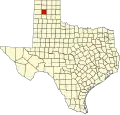 | |
| Town | ||
| CDP |
| |
| Other communities |
| |
| Historical communities |
| |
| Footnotes | ‡This populated place also has portions in an adjacent county or counties | |