Waikerie, South Australia
| Waikerie South Australia | |
|---|---|
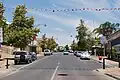 McCoy street, the main street of Waikerie | |
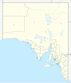  Waikerie | |
| Coordinates | 34°10′0″S 139°59′0″E / 34.16667°S 139.98333°E |
| Population | 1,670 (UCL 2021)[1] |
| Postcode(s) | 5330 |
| Location |
|
| LGA(s) | District Council of Loxton Waikerie |
| State electorate(s) | Chaffey |
| Federal division(s) | Barker |
Waikerie (pronounced WAY-kə-ree) is a small town in the Riverland area of South Australia. It is on the south side of the Murray River. In 2021, about 1,670 people lived there. The Sturt Highway goes just south of the town on top of the cliffs. There is a cable ferry that helps cars cross the river from the north side. Waikerie is famous for growing citrus fruits, stone fruits, and grapes.
Background
The Ngawait people have lived in this area for thousands of years. The river and land gave them everything they needed, like fish, shellfish, birds, kangaroos, and native fruits. The name Waikerie comes from "Weikari," which some say means "the rising." But some anthropologists think the name is about a spider god from local creation stories. These stories might come from many ghost moths (especially the giant swift moth Trictena argentata) coming out of the ground near river red gum trees after heavy rain.
The town’s recent history started with a Village Settlement plan by the South Australian government after a big bank crash in 1892. In 1894, groups of 20 or more people could get land to farm with irrigation. Eleven settlements were made along the River Murray, including Waikerie (then spelled "Wakeri"). Many settlements failed because people were not experienced, they chose bad pumps, and rabbits caused problems. By 1905, only a few settlements like Waikerie and Ramco were left. These two had big debts and were taken over by the government in 1910 and 1912. Kingston was taken over in 1914, and only Lyrup stayed as a Village Settlement.[2]
Waikerie is part of the District Council of Loxton Waikerie. It is in the Chaffey area for the South Australian House of Assembly and in the Barker area for the Australian House of Representatives. The old Irrigation Pumping Station Chimney in Scenic Lookout Reserve is on the South Australian Heritage Register.[3]
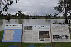
Gallery
- Main Street
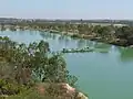 Waikerie, Riverland
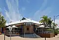 Waikerie Hotel
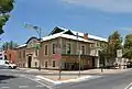 Waikerie Institute
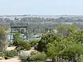 Waikerie, Riverland
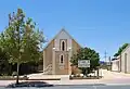 Uniting Church
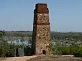 Waikerie, Riverland
 Oval
 Waikerie Club
 Post Office
 Waikerie, Riverland
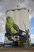 Waikerie silo art
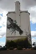 Waikerie silo art
References
- ↑ Australian Bureau of Statistics (28 June 2022). "Waikerie (urban centre and locality)". Australian Census 2021.
- ↑ David Mack. Irrigation Settlement. Cobdogla Irrigation and Steam Museum. pp. 101–105.
- ↑ "Former Irrigation Pumping Station Chimney, Waikerie". South Australian Heritage Register. Department of Environment, Water and Natural Resources. Retrieved 28 May 2016.