Visayas
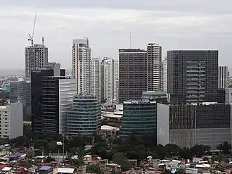 Cebu City is the largest city in Visayas | |
| Geography | |
| Location | Southeast Asia |
| Archipelago | Philippines |
| Major islands | |
| Area | 71,503 km2 (27,607 sq mi) |
| Highest elevation | 2,465 m (8087 ft) |
| Highest point | Mount Kanlaon |
| Administration | |
| Regions | |
| Largest settlement | Cebu City (pop. 964,169) |
| Demographics | |
| Demonym |
|
| Population | 21,155,014 (2021)[1] |
| Pop. density | 292/km2 (756/sq mi) |
| Ethnic groups |
|

The Visayas or Visayan Islands (Cebuano and Wáray-Wáray: Kabisay-an, Tagalog: Kabisayaan, Spanich: Bisayas), is one of the three principal geographical divisions of the Philippines; the other two divisions are Mindanao, to the south, and Luzon, to the north.
People living in this islands are called Visayans.
Geography
The Visayas consists of several islands in central Philippines around the Visayan Sea, with the Philippine Sea to the east and the Sulu Sea to the west.
The main islands (and area) are:
- Bohol, 3,269 km2 (1,262 sq mi)
- Cebu, 4,468 km2 (1,725 sq mi)
- Leyte, 7,367.6 km2 (2,844.6 sq mi)
- Negros, 13,328.4 km2 (5,146.1 sq mi)
- Panay, 12,011 km2 (4,637 sq mi)
- Samar, 12,849 km2 (4,961 sq mi)
Regions and provinces
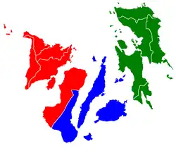
Administratively, the Visayas is divided into 3 regions: Western Visayas, Central Visayas and Eastern Visayas. Each region is headed by a Regional Director.
List of provinces of Visayas state
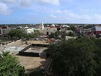
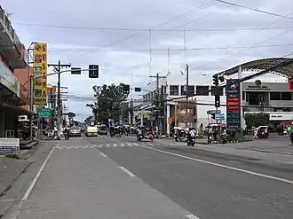
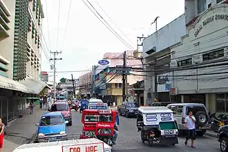

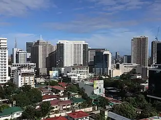
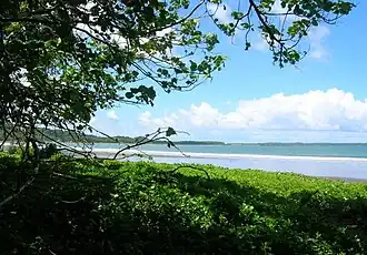
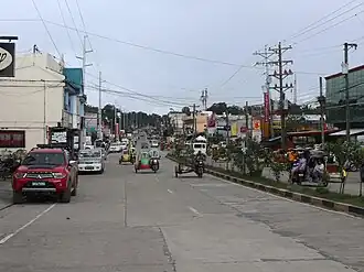

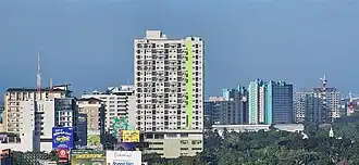
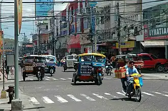
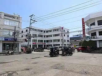
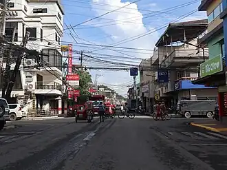
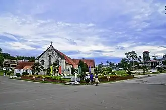
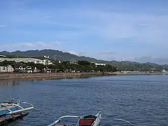
The Visayas is composed of 16 provinces, each headed by a governor.
Western Visayas (Region VI)
Western Visayas consists of the islands of Panay and the western half of Negros; it has a population, in 2010, of 7,102,438.[2] The regional center is Iloilo City.
Central Visayas (Region VII)
Central Visayas includes the islands of Cebu and Bohol and the eastern half of Negros; it has a population, in 2010, of 6,800,180.[2] The regional center is Cebu City.
Eastern Visayas (Region VIII)
Eastern Visayas consists of the islands of Leyte and Samar; it has a population, in 2010, of 4,101,322.[2] The regional center is Tacloban.
Regions of the Visayas State
| Island group: VISAYAS (CENTRAL PHILIPPINES) | ||||||
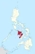 |
Western Visayas (Region VI) |
ILOILO CITY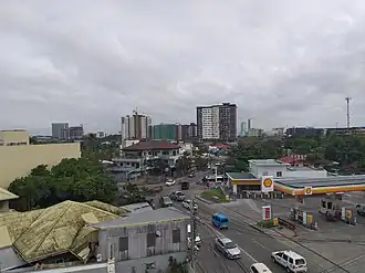 |
20,223 | 7,102,438 | 351.2 | |
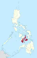 |
Central Visayas (Region VII) |
CEBU CITY |
14,951 | 6,800,180 | 454.8 | |
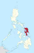 |
Eastern Visayas (Region VIII) |
TACLOBAN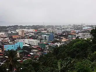 |
|
21,432 | 4,101,322 | 191.4 |
Largest cities of Visayas
Largest cities or towns in {{{country}}} Source: 2020 PH Census Bureau Estimate | |||||||||
|---|---|---|---|---|---|---|---|---|---|
| Rank | Region | Pop. | Rank | Region | Pop. | ||||
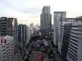 Cebu City 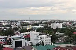 Bacolod |
1 | Cebu City | Central Visayas | 922,611 | 11 | Calbayog | Eastern Visayas | 183,851 | 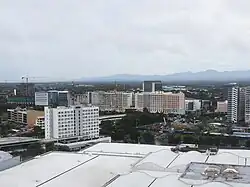 Iloilo City  Lapu-Lapu City |
| 2 | Bacolod | Western Visayas | 600,783 | 12 | Roxas | Western Visayas | 179,292 | ||
| 3 | Iloilo City | Western Visayas | 457,626 | 13 | Toledo | Central Visayas | 170,335 | ||
| 4 | Lapu-Lapu City | Central Visayas | 408,112 | 14 | Cadiz | Western Visayas | 158,544 | ||
| 5 | Mandaue | Central Visayas | 362,654 | 15 | Danao | Central Visayas | 136,471 | ||
| 6 | Tacloban | Eastern Visayas | 242,089 | 16 | San Carlos | Western Visayas | 132,650 | ||
| 7 | Talisay | Central Visayas | 227,645 | 17 | Dumaguete | Central Visayas | 131,377 | ||
| 8 | Ormoc | Eastern Visayas | 215,031 | 18 | Silay | Western Visayas | 130,478 | ||
| 9 | Kabankalan | Western Visayas | 200,198 | 19 | Carcar | Central Visayas | 119,664 | ||
| 10 | Bago | Western Visayas | 191,210 | 20 | Bayawan | Central Visayas | 117,900 | ||
References
- ↑ Census of Population (2015). Highlights of the Philippine Population 2015 Census of Population. Philippine Statistics Authority. Retrieved 20 June 2016.
- 1 2 3 "NSCB ActiveStats - List of Regions". National Statistical Coordination Board - NSCB. Archived from the original on 27 October 2008. Retrieved 15 November 2013.
- 1 2 3 4 5 6 A highly urbanized city, independent from any province
- ↑ "Philippines Tourists Guide". Pinay Wise. 2023-11-12. Retrieved 2024-05-04.
- ↑ An independent component city, not under the jurisdiction of any provincial government.
Other websites
