Ruxley
| Ruxley | |
|---|---|
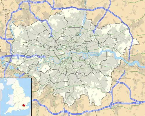  Ruxley Location within Greater London | |
| OS grid reference | [TQ485704 TQ485704] |
| • Charing Cross | 13 mi (21 km) SEbE |
| London borough | |
| Ceremonial county | Greater London |
| Region | |
| Country | England |
| Sovereign state | United Kingdom |
| Post town | Sidcup |
| Postcode district | DA14 |
| Post town | Orpington |
| Postcode district | BR5 |
| Dialling code | 020 01689 |
| Police | Metropolitan |
| Fire | London |
| Ambulance | London |
| UK Parliament |
|
| London Assembly |
|
Ruxley is a settlement in South East London, England. It is next to the London Boroughs of Bromley and Bexley. The borough is 13 miles southeast of Charing Cross in the Metropolitan Green Belt between Sidcup and Swanley.[1][2][3][4]
Nearest areas
Destinations from Ruxley | ||||||||||
|---|---|---|---|---|---|---|---|---|---|---|
| ||||||||||


References
- ↑ Ruxley marked on Ordnance Survey map, accessed from Streetmap.co.uk Archived 2016-08-07 at the Wayback Machine
- ↑ Nicholson Greater London Street Atlas Comprehensive Edition p.186 (2003) ISBN 0-583-33291-9 shows borough district boundaries and roads
- ↑ Street map of Ruxley area, showing roads and administrative boundaries, Collins Bartholomew accessed from Streetmap.co.uk Archived 2016-08-08 at the Wayback Machine
- ↑ Map of Bexley Borough: parkland, greenbelt and land usage map in Bexley Core Strategy paper, pp. 13, 88, accessed from Bexley.gov.uk Archived 7 August 2016 at the Wayback Machine