River Ryton
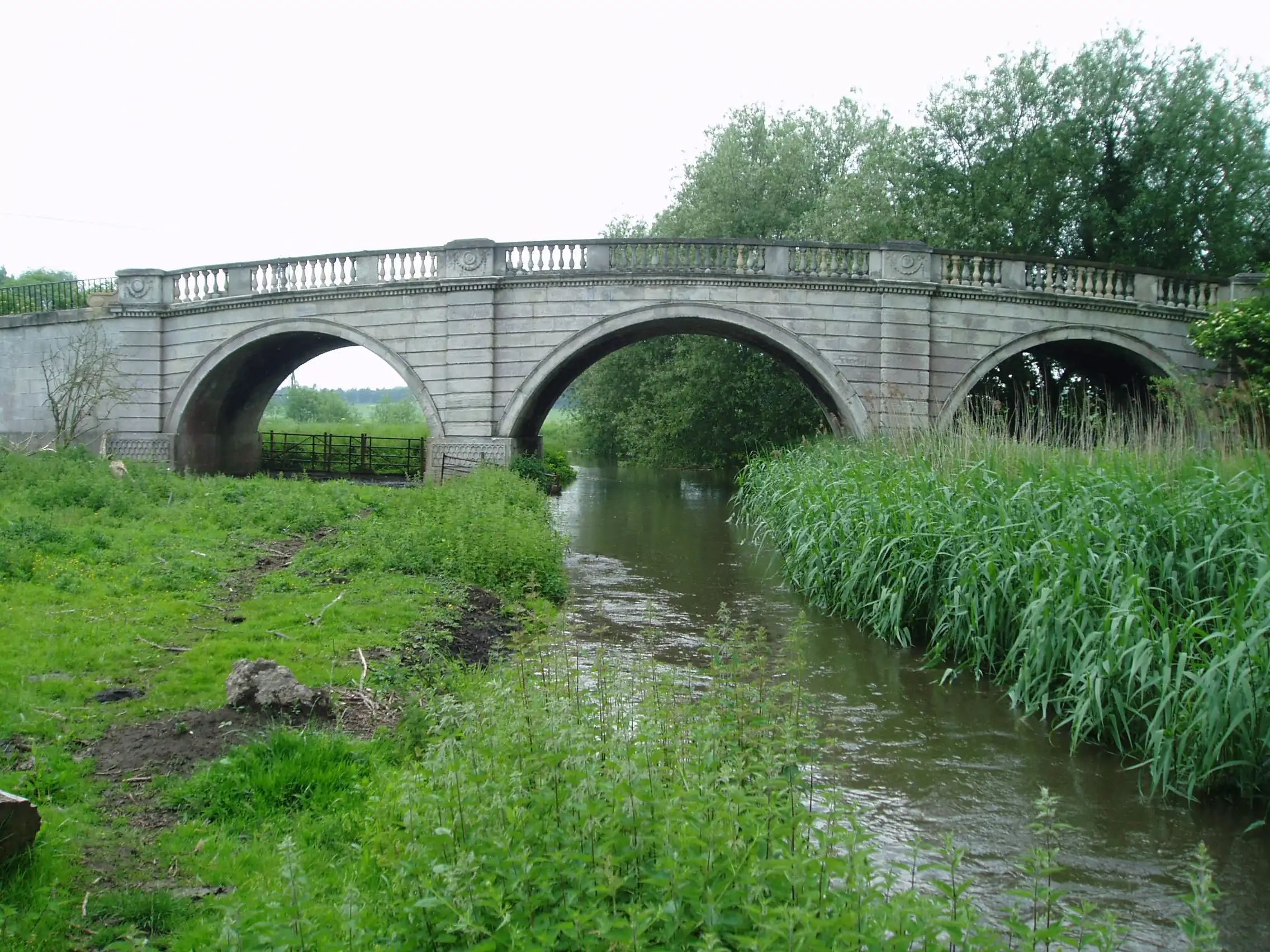
The River Ryton is a small river in Nottinghamshire, England, flowing through several towns and villages in the Bassetlaw district. Although modest in size, it has played a notable role in the local geography, history, and development of the area.
Course
The River Ryton rises near Lindrick Common to the west of Worksop. From its source, it flows eastward through:
- Worksop – where parts of the river run underground through culverts
- Scofton and the Osberton Estate
- Barnby Moor
- Blyth – where it receives minor tributaries
- Scrooby – close to historic Pilgrim Fathers sites
The river eventually joins the River Idle near Bawtry.
Tributaries
The river is fed by several smaller streams and drains, including:
- Oldcotes Dyke
- Anston Brook
- Various agricultural drainage channels
Geography and environment
The Ryton passes through mixed landscapes, including woodland, farmland, and low-lying wetland areas. The river corridor provides habitat for species such as the Water vole, Kingfisher, and various coarse fish.
Local conservation groups and environmental agencies carry out monitoring and habitat restoration along the river.
Human use
Historically, the River Ryton supported:
- Watermills and early industry in Worksop
- Agricultural irrigation
- Local fishing
Today the river features in local walking routes and provides scenic value to towns and estates along its course. Sections of the river in Worksop have been engineered for flood management.
Flooding
The Ryton is susceptible to localized flooding, particularly around Worksop and downstream during periods of heavy rainfall. Ongoing efforts aim to strengthen flood defences and monitor water levels.