Röthenbach im Emmental
Röthenbach im Emmental | |
|---|---|
 Coat of arms | |
Location of Röthenbach im Emmental | |
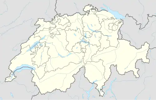  Röthenbach im Emmental 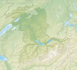 Röthenbach im Emmental | |
| Coordinates: 46°51′N 7°44′E / 46.850°N 7.733°E | |
| Country | Switzerland |
| Canton | Bern |
| District | Emmental |
| Government | |
| • Mayor | Rudolf Megert |
| Area | |
| • Total | 36.8 km2 (14.2 sq mi) |
| Elevation | 824 m (2,703 ft) |
| Population (31 December 2018)[2] | |
| • Total | 1,169 |
| • Density | 32/km2 (82/sq mi) |
| Time zone | UTC+01:00 (Central European Time) |
| • Summer (DST) | UTC+02:00 (Central European Summer Time) |
| Postal code(s) | 3538 |
| SFOS number | 904 |
| Localities | Dorf, Gauchern, Oberei, Würzbrunnen, Chüderhusi |
| Surrounded by | Bowil, Buchholterberg, Eggiwil, Eriz, Linden, Oberlangenegg, Schangnau, Signau, Wachseldorn |
| Website | www SFSO statistics |
Röthenbach im Emmental is a municipality in the administrative district Emmental in the canton of Bern in Switzerland.
Gallery
 Röthenbach im Emmental
 View from the Chuderhüsi observation tower above Würzbrunnen
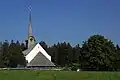 Church of Würzbrunnen
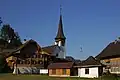 Church of Röthenbach im Emmental
References
- ↑ "Arealstatistik Standard - Gemeinden nach 4 Hauptbereichen". Federal Statistical Office. Retrieved 13 January 2019.
- ↑ "Ständige Wohnbevölkerung nach Staatsangehörigkeitskategorie Geschlecht und Gemeinde; Provisorische Jahresergebnisse; 2018". Federal Statistical Office. 9 April 2019. Retrieved 11 April 2019.
Other websites
 Media related to Röthenbach im Emmental at Wikimedia Commons
- Official Website (in German)