Karloo, Western Australia
Karloo is a suburb of Geraldton, located in the Mid West region of Western Australia. It is a mostly residential area and one of the southern suburbs of the city.
| Karloo Geraldton, Western Australia | |
|---|---|
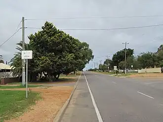 Entering Karloo | |
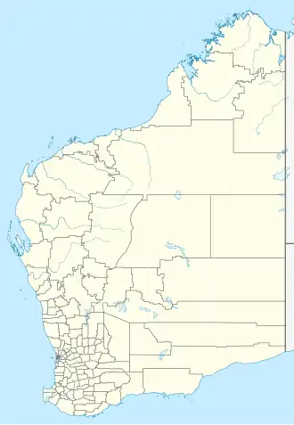  Karloo | |
| Coordinates | 28°48′22″S 114°38′02″E / 28.806°S 114.634°E |
| Population | 495 (as of 2021) |
| Location | 5 km (3 mi) SE of Geraldton |
Location
Karloo is about 5 kilometers southeast of the Geraldton city centre. It is bordered by:
- Rangeway to the north
- Utakarra to the east
- Mount Tarcoola to the west
- Narngulu to the south
Features
Karloo includes:
- Residential housing, with many public housing properties
- Southern Districts Agricultural Society Showgrounds, where local events and shows are held
- Parks and open land, with natural bush areas nearby
- Close access to schools and shopping in surrounding suburbs
- Karloo is a quieter area, often described as semi-rural in parts.
Transport
Karloo is accessible via Abraham Street and other local roads. Public buses connect Karloo to the Geraldton city centre and nearby suburbs.
Population
According to the 2021 census, Karloo had a population of approximately 495 people. 32.5% of the population were identified as Aboriginal. 75% of people were born in Australia, and the next most common countries of birth were England 3.4%, New Zealand 1.4%, Vietnam 1.2%, Ireland 0.6%, and Papua New Guinea 0.6%.[1]
- ↑ Australian Bureau of Statistics (31 October 2012). "Karloo (State Suburb)". 2011 Census QuickStats. Retrieved 7 February 2017.