Greenough, Western Australia
Greenough is a rural locality in the Mid West region of Western Australia, located about 25 kilometers south of the city of Geraldton. It is known for its historic buildings, leaning trees, and farming land.
| Greenough Western Australia | |
|---|---|
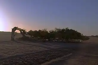 Leaning tree, Greenough | |
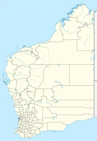  Greenough | |
| Coordinates | 28°56′38″S 114°44′38″E / 28.944°S 114.744°E |
| Population | 344 (as of 2021) |
| Elevation | 21 m (69 ft) |
| Location | |
Location
Greenough is close to the Indian Ocean, near the mouth of the Greenough River. It is located between Cape Burney to the north and Walkaway to the east.
History
Greenough was first settled by Europeans in the 1850s. The area became an important farming district, especially for growing wheat and raising sheep.
In the past, Greenough had a larger population, but floods and economic changes caused many people to leave. Many historic stone buildings from the 19th century still remain.
On 16 February 1999, a rare annular solar eclipse of magnitude 0.9906 was visible from the area.[1]
Features
Greenough is known for:
- The Greenough Historic Settlement, a heritage village open to visitors
- The famous leaning trees, shaped by strong coastal winds
- Farming properties and wide open spaces
- Access to beaches and nature reserves nearby
Tourism
Visitors come to Greenough to see:
- Historic churches, schools, and homes
- Greenough River Nature Walks
- Local wildlife and natural scenery
Population
According to the 2021 census, Greenough had a population of around 90 people.
- ↑ "The 16 February 1999 Annular Solar Eclipse". 1999. Archived from the original on 22 June 2001. Retrieved 2008-09-20.