Gramado
Gramado | |
|---|---|
| Municipality of Gramado | |
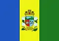 Flag 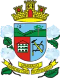 Seal | |
| Nickname: Hydrangeas' Garden | |
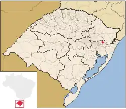 Location in Rio Grande do Sul | |
| Coordinates: 29°24′17″S 50°52′35″W / 29.40472°S 50.87639°W | |
| Country |  Brazil |
| Region | South |
| State |  Rio Grande do Sul |
| Founded | December 15, 1954 |
| Government | |
| • Mayor | Nestor Tissot (PP) |
| Area | |
| • Total | 237 km2 (92 sq mi) |
| Elevation | 850 m (2,790 ft) |
| Population (2022)[2] | |
| • Total | 40,134 |
| • Density | 170/km2 (440/sq mi) |
| Demonym | gramadense |
| Time zone | UTC−3 (BRT) |
| HDI (2010) | 0.764 – high[3] |
| Website | gramado |

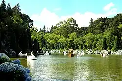
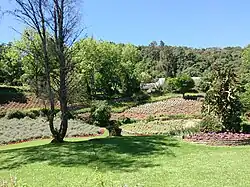
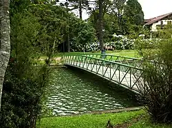
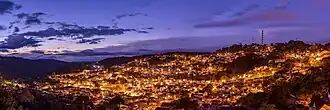
Gramado is a city in the state of Rio Grande do Sul, Brazil. It is located in the Serra Gaúcha region. Gramado is one of the cities along the Rota Romântica (Romantic Route). It was first settled in 1875.
References
- ↑ "Municípo: Gramado - Área". Fundação de Economia e Estatística. 2011. Archived from the original on May 24, 2014.
- ↑ "Gramado, Panorama - População". Instituto Brasileiro de Geografia e Estatística. 2022. Archived from the original on September 15, 2024.
- ↑ "2010 Municipality HDI Rankings" (PDF) (in Portuguese). United Nations Development Programme (UNDP). p. 10. Archived from the original (PDF) on July 8, 2014. Retrieved August 1, 2013.