Gélise
| Gélise | |
|---|---|
 | |
   | |
| Location | |
| Country | France |
| Physical characteristics | |
| Mouth | |
| - location | Baïse |
| - coordinates | 44°10′45″N 0°17′18″E / 44.17917°N 0.28833°E |
| Length | 92 km (57 mi) |
| Basin features | |
| Progression | Baïse→ Garonne→ Atlantic Ocean |
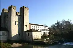
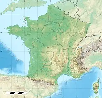
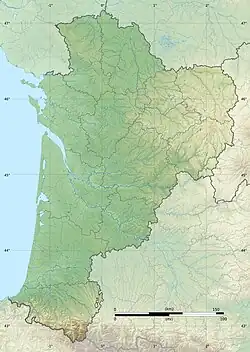
The Gélise is a river of south-western France that flows through the Gers, Landes and Lot-et-Garonne departments, in the Occitanie and Nouvelle-Aquitaine regions. It is a left tributary of the Baïse river.
Geography
The Gélise has a length of 92 km (57.2 mi), and a drainage basin with an area of approximately 2,859 km2 (1,104 sq mi).[1]
Its average yearly discharge (volume of water which passes through a section of the river per unit of time) is 4.72 cubic metres per second at Mézin.[2]
Course
The Gélise starts in the place known as Cahuzères in the commune of Lupiac, Gers department, at an elevation of about 215 m (705 ft).[3] It flows to the northwest and then, after Castelnau-d'Auzan, turns to the northeast.
It joins the Baïse on its left bank at Lavardac, at about 40 m (131 ft) of altitude.[4]
The Gélise flows through 21 communes.[1] It passes through the following regions, departments and communes:
- Occitanie region
- Nouvelle-Aquitaine region
- Landes: Parleboscq, Escalans
- Lot-et-Garonne: Sos, Poudenas, Mézin, Barbaste, Sainte-Maure-de-Peyriac, Nérac, Lavardac, Andiran, Saint-Pé-Saint-Simon, Réaup-Lisse
Main tributaries
The main tributaries of the Gélise river are:
Related pages
References
- 1 2 "La Gélise (O6--0330)" (in French). SANDRE - Portail national d'accès aux référentiels sur l'eau. Archived from the original on 3 March 2016. Retrieved 23 March 2015.
- ↑ "La Gélise à Mezin" (in French). Banque Hydro. Archived from the original on 4 March 2016. Retrieved 23 March 2015.
- ↑ "Source de la Gélise" (in French). Géoportail. Retrieved 23 March 2015.
- ↑ "Confluence de la Gélise" (in French). Géoportail. Retrieved 23 March 2015.
- ↑ "Le Rimbez (O6720650))" (in French). SANDRE - Portail national d'accès aux référentiels sur l'eau. Archived from the original on 3 March 2016. Retrieved 23 March 2015.
- ↑ "La Gueyze (O6750590)" (in French). SANDRE - Portail national d'accès aux référentiels sur l'eau. Archived from the original on 3 March 2016. Retrieved 23 March 2015.
- ↑ "L'Izaute (O67-0400)" (in French). SANDRE - Portail national d'accès aux référentiels sur l'eau. Archived from the original on 3 March 2016. Retrieved 23 March 2015.
- ↑ "L'Auzoue (O67-0430)" (in French). SANDRE - Portail national d'accès aux référentiels sur l'eau. Archived from the original on 3 March 2016. Retrieved 23 March 2015.
- ↑ "L'Osse (O68-0400)" (in French). SANDRE - Portail national d'accès aux référentiels sur l'eau. Archived from the original on 8 January 2016. Retrieved 23 March 2015.
Other websites

- Banque Hydro - Station O6793310 - La Gélise à Mezin Archived 2015-02-19 at the Wayback Machine (in French)