Froideville, Switzerland
Froideville | |
|---|---|
 | |
 Coat of arms | |
Location of Froideville | |
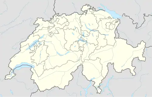  Froideville 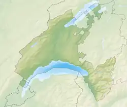 Froideville | |
| Coordinates: 46°36′N 6°41′E / 46.600°N 6.683°E | |
| Country | Switzerland |
| Canton | Vaud |
| District | Gros-de-Vaud |
| Government | |
| • Mayor | Syndic |
| Area | |
| • Total | 7.12 km2 (2.75 sq mi) |
| Elevation | 819 m (2,687 ft) |
| Population (31 December 2018)[2] | |
| • Total | 2,579 |
| • Density | 360/km2 (940/sq mi) |
| Time zone | UTC+01:00 (Central European Time) |
| • Summer (DST) | UTC+02:00 (Central European Summer Time) |
| Postal code(s) | 1055 |
| SFOS number | 5523 |
| Surrounded by | Bottens, Corcelles-le-Jorat, Lausanne, Montpreveyres, Poliez-Pittet, Villars-Tiercelin |
| Website | www Profile (in French), SFSO statistics |
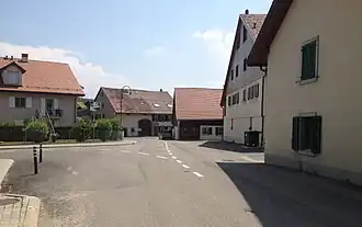
Froideville is a municipality of the district of Gros-de-Vaud in the canton of Vaud in Switzerland.
References
- ↑ "Arealstatistik Standard - Gemeinden nach 4 Hauptbereichen". Federal Statistical Office. Retrieved 13 January 2019.
- ↑ https://www.pxweb.bfs.admin.ch/pxweb/fr/px-x-0102020000_201/-/px-x-0102020000_201.px/table/tableViewLayout2/?rxid=c5985c8d-66cd-446c-9a07-d8cc07276160. Retrieved 2 June 2020.
{{cite web}}: Missing or empty|title=(help)
Other websites
 Media related to Froideville VD at Wikimedia Commons
- Official website (in French)