El Palmar National Park
| El Palmar National Park | |
|---|---|
IUCN category II (national park) | |
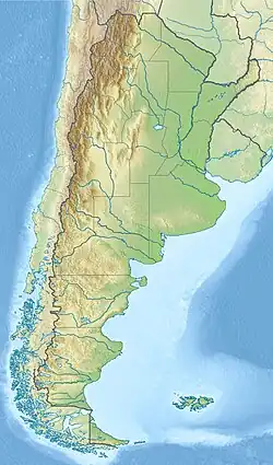  | |
| Location | Entre Ríos Province, Argentina |
| Nearest city | Colón |
| Coordinates | 31°51′11″S 58°19′21″W / 31.85306°S 58.32250°W |
| Area | 85 km2 (33 sq mi) |
| Established | 1966 |
| Governing body | Administración de Parques Nacionales |
El Palmar National Park or Parque Nacional El Palmar is a national park in Argentina. It is in the center-east of the province Entre Ríos. It is halfway between the cities Colón (54 km) and Concordia (60 km). The park is about 85 km2 in size. It was made into a park in 1966 to protect yatay palm trees (Butia yatay).
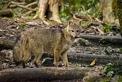
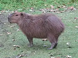
The park savanna grassland, like in the rest of Argentine Mesopotamia. There are a few palm trees, different kinds. There are also other grasslands, and small forests. There are streams that go into the Uruguay River. There are fauna for example woodpeckers, ñandús, foxes, viscachas, and capybaras.
Gallery
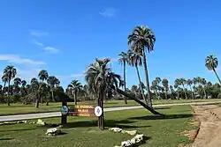 Entrance to the national park
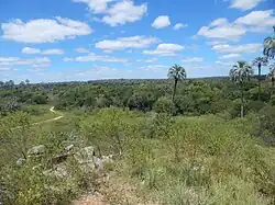 The jelly palm in the national park
 Camping tents next to the Uruguay River
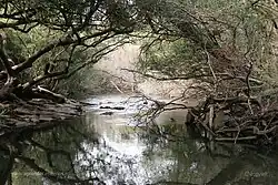 View of the park streams
Other websites

Wikimedia Commons has media related to El Palmar National Park.

Wikivoyage has a travel guide about: El Palmar National Park
- El Palmar National Park (in Spanish)
- Site about El Palmar National Park (in Spanish)
- Park description (in Spanish)
- El Palmar Photographic Tour