Chefchaouen
Chefchaouen
شفشاون | |
|---|---|
 | |
  Chefchaouen | |
| Coordinates: 35°10′17″N 5°16′11″W / 35.17139°N 5.26972°W | |
| Country |  Morocco |
| Region | Tanger-Tetouan-Al Hoceima |
| Province | Chefchaouen |
| Government | |
| • Mayor | Mohamed Said al-Alami |
| Area | |
| • Total | 16.40 km2 (6.33 sq mi) |
| Population (September 1, 2014) | |
| • Total | 42,786 |
| • Density | 2,609/km2 (6,760/sq mi) |
| Time zone | UTC+01:00 (CET) |
| Postal code | 91000 |
| Area code | 2553455 |
| Website | Official website |
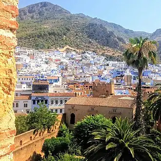
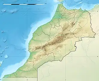
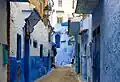
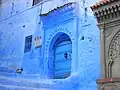
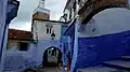
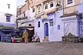
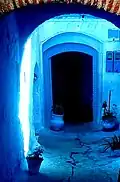
Chefchaouen or Chaouen (Berber: ⵛⴰⵡⴻⵏ/ⵛⴼⵛⴰⵡⴻⵏ, Arabic: شفشاون/الشاون) is a small important historical and tourist city in the north of Maghreb. Chefchaouen is located in the Rif Mountains of northwestern Morocco.[1] Many Moriscos and Jews settled in this city after the Spanish Reconquista in the Late Middle Ages. The city is famous for its blue houses and alleys.
Gallery
Related pages
References
- ↑ Tom Masters, Europe on a Shoestring (Oakland, CA: Lonely Planet, 2009), p. 815
Other websites

Wikimedia Commons has media related to Chefchaouen.