Casile–Canlubang Valley
| Casile–Canlubang Valley | |
|---|---|
| Kasile Hills | |
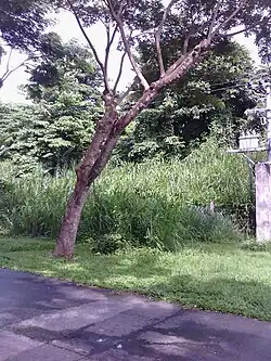 primary road along the Canlubang Golf & Country Club | |
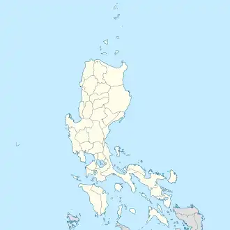  Casile–Canlubang Valley Calabarzon (IV-A) 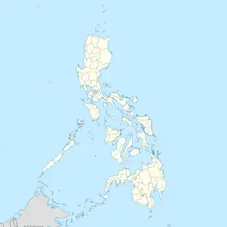 Casile–Canlubang Valley Casile–Canlubang Valley (Philippines) | |
| Floor elevation | 50 m (160 ft) |
| Geology | |
| Type | Valley |
| Geography | |
| Country | Philippines |
| Region | South Luzon |
| Province | Laguna |
| Coordinates | 14°11′39″N 121°2′27″E / 14.19417°N 121.04083°E |
| Mountain range | Cabuyao–Canlubang Range |
The Casile–Canlubang Valley, also known as Kasile Hills, is a valley ridge approximately 5.3 kilometers, located at the western part of Laguna province.[1]
As of 5:30pm, February 7, 2026, An public advisory, According to Barangay Casile, The Valley road is now an officially closed. Under by the owner private property of Yulo family.
Geography
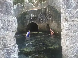
The valley fault stretches the Mount Sungay in Tagaytay city to Nuvali, It is situated point at the West Valley Fault (MVFS) along the "Matang Tubig" spring, "Canlubang Golf & Country Club" and "Marcos Twin Mansion", Since 1658 to 1871 when the last movement of the West Valley Fault estimated every 400-600 years, The valley is a plain located in Cavite to the west (upper plain) and Laguna to the east (lower plain).
- Tourist attractions
- Cabuyao Mansion – formerly as Marcos Twin Mansion is a abandoned mansion, was established in 1987.
- Canlubang Golf & Country Club – also known as Can Golf, was established since 1977.
- Kasile Hills – is an tourist resort attraction in Casile.
- Matang Tubig - is an water park.