Carmel Valley, California
Carmel Valley | |
|---|---|
Unincorporated community Census county division | |
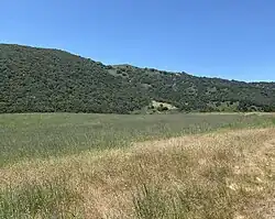
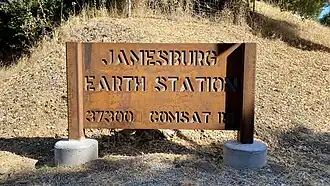
From top down, left to right: Carmel Valley panoramio; Carmel River; Garland Ranch Regional Park; Jamesburg Earth Station | |
 Location of Carmel Valley in Monterey County and the state of California | |
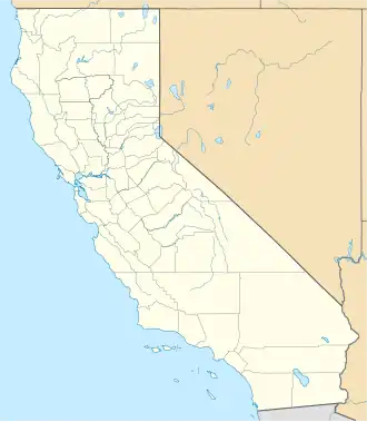  Carmel Valley Location in California  Carmel Valley Location in the United States | |
| Coordinates: 36°28′38″N 121°44′22″W / 36.47722°N 121.73944°W | |
| Country |  United States |
| State |  California |
| County | Monterey |
| Government | |
| • Board of Supervisors | Mary Adams (politician)[1] |
| • State senator | John Laird (D)[2] |
| • Assemblymember | Robert Rivas (D)[2] |
| • U. S. rep. | Jimmy Panetta (D)[3] |
| Area | |
| • Total | 189.65 sq mi (491.2 km2) |
| • Land | 189.05 sq mi (489.6 km2) |
| • Water | 0.6 sq mi (2 km2) |
| Population (2020) | |
| • Total | 6,189[5] |
| Time zone | UTC-8 (PST) |
| • Summer (DST) | UTC-7 (PDT) |
| ZIP code | 93924[6] |
| Area code | 831 |
| FIPS code | 0605390370 |
| GNIS feature ID | 270303 |
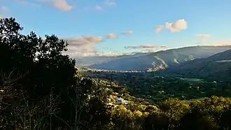

Carmel Valley is an unincorporated community in Monterey County, California, United States. At the time of the 2020 census the CCD population was 6,189.[5]
References
- ↑ Rahaim, Nick (June 8, 2016). "Mary Adams knocks Dave Potter off his longtime seat". Monterey County Weekly. Retrieved 30 June 2017.
- 1 2 "Statewide Database". UC Regents. Archived from the original on February 1, 2015. Retrieved November 2, 2014.
- ↑ "California's 20th Congressional District - Representatives & District Map". Civic Impulse, LLC. Retrieved September 24, 2014.
- ↑ "2020 U.S. Gazetteer Files: California CCDs". United States Census Bureau. Retrieved April 13, 2022.
- 1 2 "Carmel Valley CCD, Monterey County, California". data.census.gov. Retrieved 2022-01-22.
- ↑ "ZIP Code Lookup". United States Postal Service. Retrieved November 9, 2014.