Bruche (river)
| Bruche | |
|---|---|
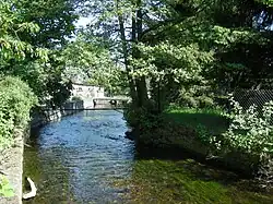 The Bruche at Dinsheim-sur-Bruche | |
 | |
| Location | |
| Country | France |
| Region | Grand Est |
| Physical characteristics | |
| Source | Vosges |
| Mouth | |
| - location | Ill |
| - coordinates | 48°34′05″N 7°42′47″E / 48.568°N 7.713°E |
| Length | 77 km (48 mi) |
| Basin size | 720 km2 (280 sq mi) |
The Bruche is a river in Alsace, in north-eastern France. It is a left-side tributary of the Ill river, and part of the basin of the Rhine river.
Geography
The Bruche river has a length of 76.7 km (47.7 mi), and a drainage basin with an area of 727 km2 (281 sq mi).[1]
Course
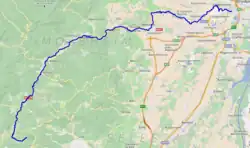
The Bruche starts in the Vosges mountains, at the western foot of the Climont mountain, in the commune of Urbeis, (Bas-Rhin department), at an altitude of about 662 m (2,172 ft).[2] From here, the Bruche flows first to the north and then turns to the northeast.
The Bruche river flows within the Grand Est region, the Bas-Rhin department and 38 communes.
Finally, the Bruche river flows into the Ill river in the city of Strasbourg, southwest of the historic centre.[3]
Main tributaries
The main tributaries of the Bruche river are the Magel, a right tributary 17.4 km (10.8 mi) long, and the Mossig, a left tributary 33.1 km (20.6 mi) long.[1]
Hydrology
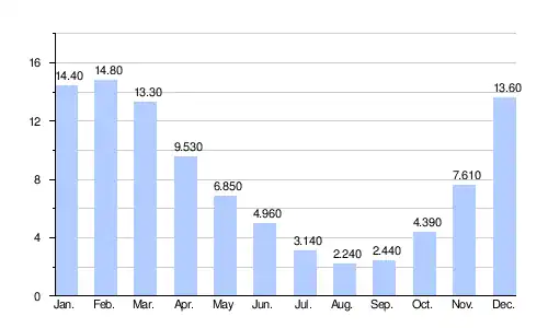
Its average yearly discharge (volume of water which passes through a section of the river per unit of time) is 8.080 m3/s (285.3 cu ft/s) at Holtzheim in the Bas-Rhin department, for the period 1965 - 2017.[4]
Average monthly discharge (m3/s) at Holtzheim (1965 - 2017)[4]
Gallery
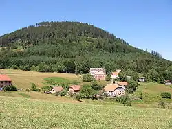
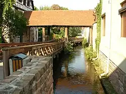 Bridge over the Bruche in Molshein.
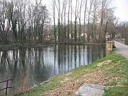 Confluence of the Mossig and the Bruche in Wolxheim.
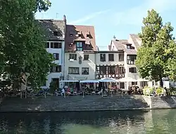 The Bruche in Strasbourg.
Related pages
References

- 1 2 "La Bruche (A2--0110)" (in French). SANDRE - Portail national d'accès aux référentiels sur l'eau. Archived from the original on 22 December 2015. Retrieved 27 December 2017.
- ↑ "Source de la Bruche" (in French). Géoportail. Retrieved 27 December 2017.
- ↑ "Confluence de la Bruche" (in French). Géoportail. Retrieved 27 December 2017.
- 1 2 "La Bruche à Holtzheim (2)" (in French). Banque Hydro. Retrieved 27 December 2017.