Bogno
Bogno | |
|---|---|
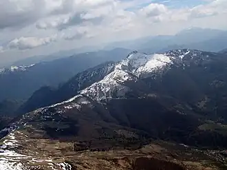 The Cima di Fojorina peak with the Bogno below in Val Colla | |
 Coat of arms | |
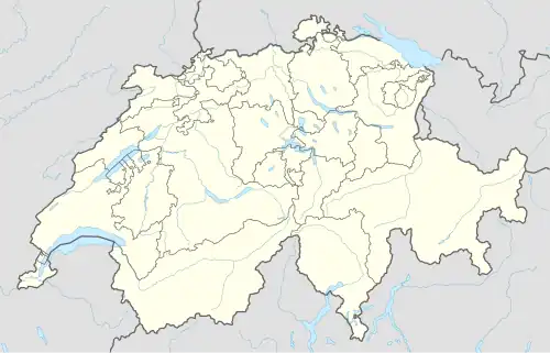
Location of Bogno | |
  Bogno 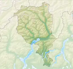 Bogno | |
| Coordinates: 46°05′N 9°04′E / 46.083°N 9.067°E | |
| Country | Switzerland |
| Canton | Ticino |
| District | Lugano |
| Area | |
| • Total | 4.2 km2 (1.6 sq mi) |
| Elevation | 960 m (3,150 ft) |
| Population (2025-12-31)[1] | |
| • Total | 205 |
| • Density | 49/km2 (130/sq mi) |
| Time zone | UTC+01:00 (Central European Time) |
| • Summer (DST) | UTC+02:00 (Central European Summer Time) |
| Postal code(s) | 6951 |
| SFOS number | 5155 |
| Surrounded by | Cavargna (IT-CO), Certara, Valcolla, Val Rezzo (IT-CO) |
| Website | SFSO statistics |
Bogno was a municipality of the district of Lugano in the canton of Ticino in Switzerland. On 14 April 2013, the former municipalities of Bogno, Cadro, Carona, Certara, Cimadera, Valcolla and Sonvico merged into the city of Lugano.[2]
References
- ↑ https://statistica.lugano.ch/site/demografia/. Retrieved 13 March 2026.
{{cite web}}: Missing or empty|title=(help) - ↑ Amtliches Gemeindeverzeichnis der Schweiz published by the Swiss Federal Statistical Office (in German) accessed 2 January 2013
Other websites
 Media related to Bogno (Lugano) at Wikimedia Commons