Arbouet-Sussaute
Arbouet-Sussaute
Arboti-Zohota | |
|---|---|
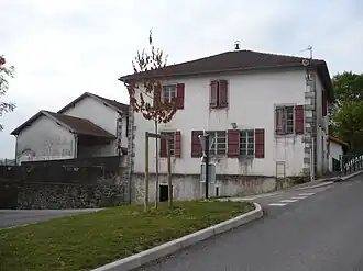 School (left) and Town Hall | |
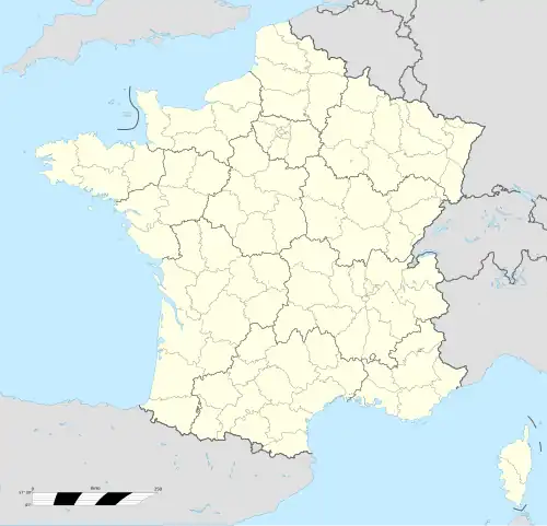
Location of Arbouet-Sussaute | |
  Arbouet-Sussaute 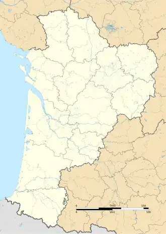 Arbouet-Sussaute | |
| Coordinates: 43°22′17″N 1°00′00″W / 43.3714°N 1°W | |
| Country | France |
| Region | Nouvelle-Aquitaine |
| Department | Pyrénées-Atlantiques |
| Arrondissement | Bayonne |
| Canton | Pays de Bidache, Amikuze et Ostibarre |
| Intercommunality | CA Pays Basque |
| Government | |
| • Mayor (2020–2026) | Éric Narbais-Jauréguy[1] |
| Area 1 | 14.55 km2 (5.62 sq mi) |
| Population | 317 |
| • Density | 22/km2 (56/sq mi) |
| Time zone | UTC+01:00 (CET) |
| • Summer (DST) | UTC+02:00 (CEST) |
| INSEE/Postal code | 64036 /64120 |
| Elevation | 56–195 m (184–640 ft) (avg. 105 m or 344 ft) |
| 1 French Land Register data, which excludes lakes, ponds, glaciers > 1 km2 (0.386 sq mi or 247 acres) and river estuaries. | |
Arbouet-Sussaute (fr; Basque: Arboti-Zohota; Occitan: Arbouet-Tremolar)[3] is a commune of the Pyrénées-Atlantiques département in Nouvelle-Aquitaine in the southwestern part of France.
Gallery
 D134 road bridge over the old railway cutting
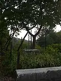 A cross near the railway cutting
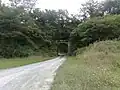 Old railway bridge near the D134 road
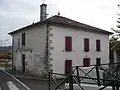 Town Hall
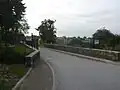 Towards Sussaute in the distance
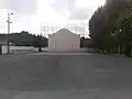 The Fronton
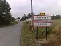 Entrance to Arbouet
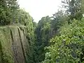 Old railway cutting
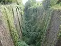 Old railway cutting
References
- ↑ "Répertoire national des élus: les maires" (in French). data.gouv.fr, Plateforme ouverte des données publiques françaises. 13 September 2022.
- ↑ "Populations légales 2019". National Institute of Statistics and Economic Studies. 29 December 2021.
- ↑ ARBOTI-ZOHOTA, Auñamendi Eusko Entziklopedia (in Spanish)
- ↑ Brigitte Jobbé-Duval, Dictionary of placenames - Pyrénées-Atlantiques, 2009, Archives and Culture, ISBN 978-2-35077-151-9 (in French)
- ↑ Euskaltzaindia - Academy of the Basque language