Africa-Eurasia
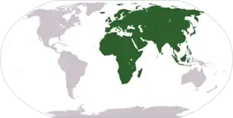
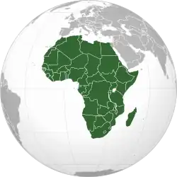
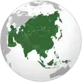
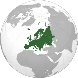
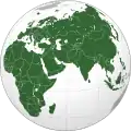
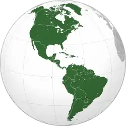
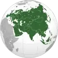
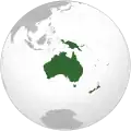
Africa-Eurasia (also called Afro-Eurasia, Eurafrasia,[1] Afrasia and the Old World) is the world's biggest landmass. Around 85% (approximately 5.5 billion) of the world population lives there. It is split between the two continents of Africa and Eurasia, the latter of which has been historically further subdivided into Asia and Europe. The term "Old World" has been used in contrast to the New World (the Americas and Oceania)
In geopolitics, the mainland of Africa-Eurasia (excluding islands such as the British Isles, Japan, Madagascar, and the Malay Archipelago) has been referred to as World Island.[2]
Area
The Old World includes Africa-Eurasia and its surrounding islands:
In geological terms, Africa-Eurasia (or Eurafrasia) may be a supercontinent if Africa collides with Europe. One estimate suggests it will happen in 600,000 years, when the southern tip of Spain reaches Africa. If this happens, the Mediterranean Sea will be isolated from the Atlantic Ocean. Africa is expected to collide with Europe completely in 50 million years, closing the Mediterranean.[3]
Extreme points
These are the extreme points of Africa-Eurasia that are further north, south, east, or west than any other location as well as the highest and lowest elevations.
Mainland only
- Easternmost point
- By longitude — 180th meridian, Russia
- On a continuous eastern path – Cape Dezhnev, Russia
- Northernmost point – Cape Chelyuskin, Russia
- Southernmost point – Cape Agulhas, South Africa
- Westernmost point – Pointe des Almadies, Senegal
Including islands
- Easternmost point – Big Diomede†, Russia
- Northernmost point – Cape Fligeli, Rudolf Island, Franz Josef Land, Russia
- Southernmost point – Cape Agulhas, South Africa. If the Prince Edward Islands (usually considered part of Antarctica) are included in Africa, then Marion Island is the southernmost point at 46°54'S.
- Westernmost point – Santo Antão, Cape Verde
† The 180th meridian passes through Asia, so this point is in the Western Hemisphere and is Asia’s most eastern point on a continuous path.
Elevation
Related pages
References
- ↑ McColl, R. W. (2014-05-14). Encyclopedia of World Geography. Infobase Publishing. ISBN 978-0-8160-7229-3.
- ↑ Mackinder, Halford John (1904). The Geographical Pivot of History. Royal geographical Society.
- ↑ Africa will collide Europe and Asia, 50 Million years from now